Choose from a variety of interactive map viewers designed to make the viewing of specific topical areas streamlined and easy.
These maps allow users to zoom in to areas, identify further information on specific features and in some cases provide feedback.
Explore the maps

MCATLAS
MCATLAS mapping viewer, offering every mapping layer a user might need in one tool.

Zoning Explorer
Official Zoning of Montgomery County; maintained by Montgomery Planning.
More Montgomery County GIS Apps
GIS applications from the Montgomery County government.
Environment

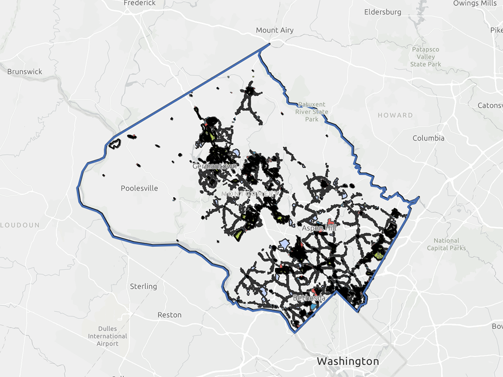
Forest Conservation Easements
Find out if a property is affected by one, and submit feedback to our staff on potential issues.

Tree Canopy
This storymap allows users to measure tree canopy in urban areas of Montgomery County.

Watersheds
Watersheds in Montgomery County of regulatory significance.
Housing and Development

Addressing
Submit corrections or change requests against the Master Address database.

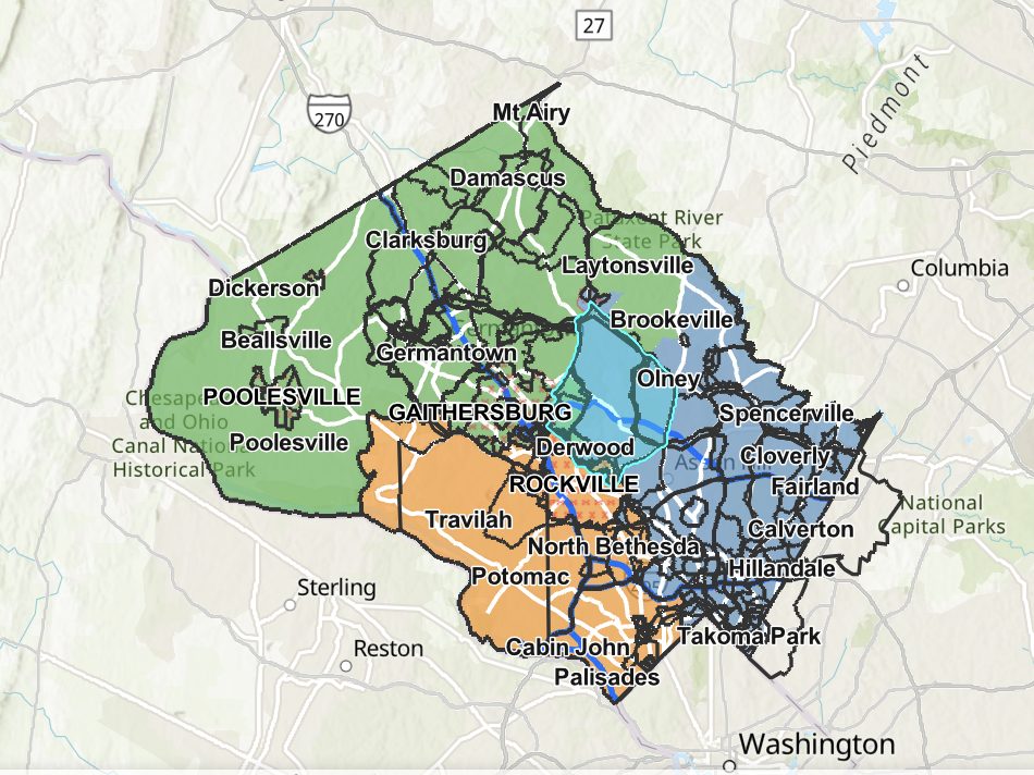
Civic and Homeowner Associations
Search for homeowners and civic groups in Montgomery County and run queries for contact information.

Development Database
A one-stop resource for all Montgomery County development information.

Development Finder
The development finder shows pending and recent projects received by the Montgomery County Planning Department.
Development Activity Information Center
Search and view development project descriptions, maps, plans, progress, and more.

Housing Buildout Storymap
Explore the buildout of housing and infrastructure from 1940 to present.

Inflation-Adjusted Home Value Explorer 2000-2025
View the real changes in typical home values in Montgomery County through this dashboard. Data source: Zillow.com

Older Adult Housing Stock (Updated 2024)
This site is an inventory update of the older adult housing supply in the county, as of 2024.
Pipeline
This site offers a view of the current development pipeline for the County as approved by the Planning Board.

Plat Index
View the Index of Record Plats in Montgomery County based on clerk plat number or tax account number.

Vacant Office Properties Dashboard
Society and History

Demographics Explorer
Census Data in and around Montgomery County.

Maryland Legislative Districts
A dashboard of district demographics alongside a detailed pipeline of current and upcoming housing developments.

Historic Preservation
Determine if a property has been identified as historic or is located within a historic district.

Mapping Segregation Project
A mapping tool showing historical patterns of segregation in Montgomery County
Asian American and Pacific Islander Heritage Project
Share the places associated with AAPI history and culture that are important to you.
Transportation
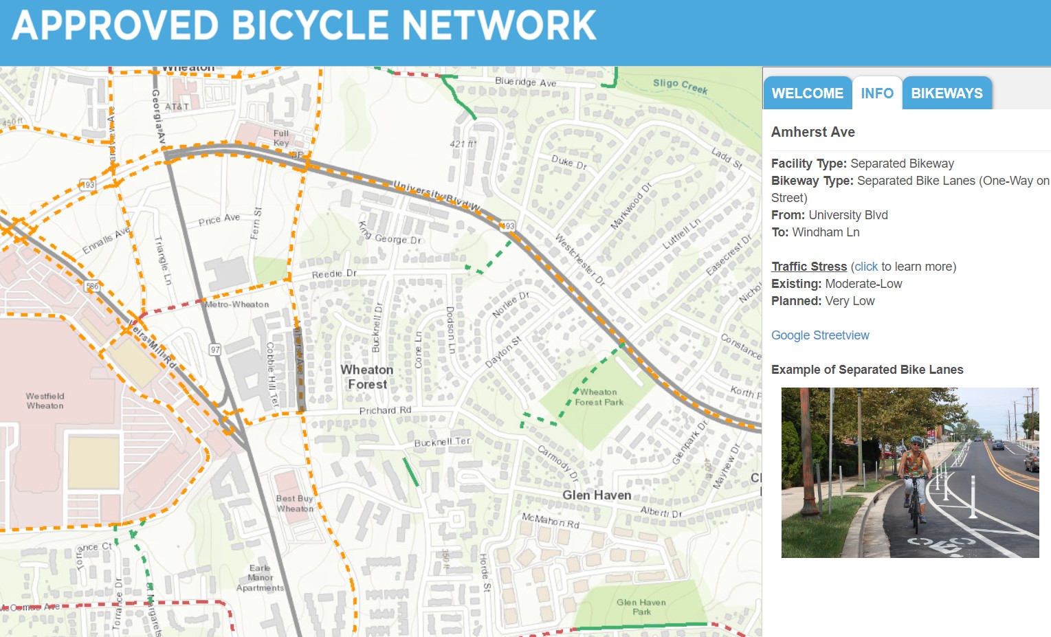
Bicycle Master Plan Network
Display of bikeway and bicycle parking station recommendations, and bikeway implementation prioritization.

Bicycle Stress Map
Levels of traffic stress that people who bicycle experience on each public road and trail in Montgomery County.
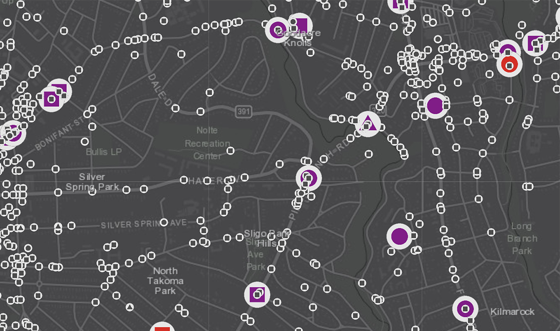
Crash Map
The Interactive Crash Map displays 2015-2023 crash data to allow users to understand crash trends by neighborhood.
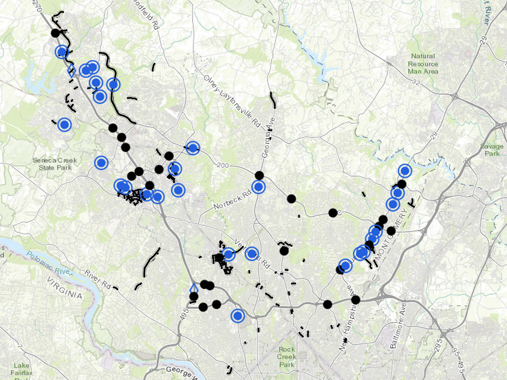
Highway Preservation
Roadway dedications, easements and reservations set aside for future right-of-ways.

Intersection Analysis
Visualize and analyze all major traffic intersections in Montgomery County.

Master Plan of Highways and Transitways
The Master Plan of Highways and Transitways provides guidance and tools for transportation improvements.

Pedestrian Level of Comfort
The Pedestrian Level of Comfort analysis quantifies how comfortable people feel walking in certain traffic conditions.