
The Eastern Silver Spring Communities Plan (ESSCP) team is working with residents, business owners, and other stakeholders to take a comprehensive look at how people live, work, play and shop in their community, now and in the future. Together we will create a vision for the future of the community and make recommendations to help achieve that vision.
The Plan will make recommendations about the types, sizes, and uses of new buildings, transportation, schools, parks, and more. This plan will also address housing, historic preservation, pedestrian networks, trail systems, and environmental issues.
Current Phase: Community Visioning
The planning team is working with the community to craft a vision for the future of this area. Visioning will continue through Spring 2025, and there will be many more opportunities to share your thoughts with us!
On February 27, 2025, the planning team briefed the Planning Board on the community engagement conducted since the approval of the Scope of Work in May 2024, including the initial stages of Community Visioning. Watch the February 27 recording and view the presentation (English | Español).
Scope of Work
On May 16, 2024, the Planning Board approved the Scope of Work and Plan Area (shown in red on the map below) for the Eastern Silver Spring Communities Plan. Watch the May 16 recording.
View the Eastern Silver Spring Communities Plan Existing Conditions Report (English | Español), Scope of Work (English | Español), and the Community Engagement Report (English | Español), as posted as part of the staff report for the May 16, 2024 Planning Board meeting.
Approved Plan Area
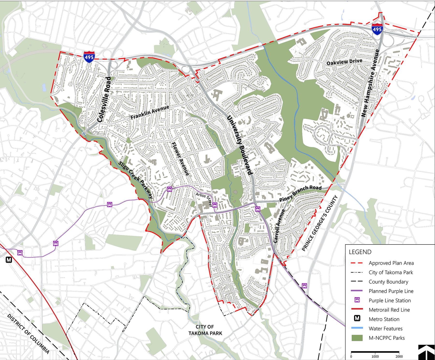
What is the Plan Area?
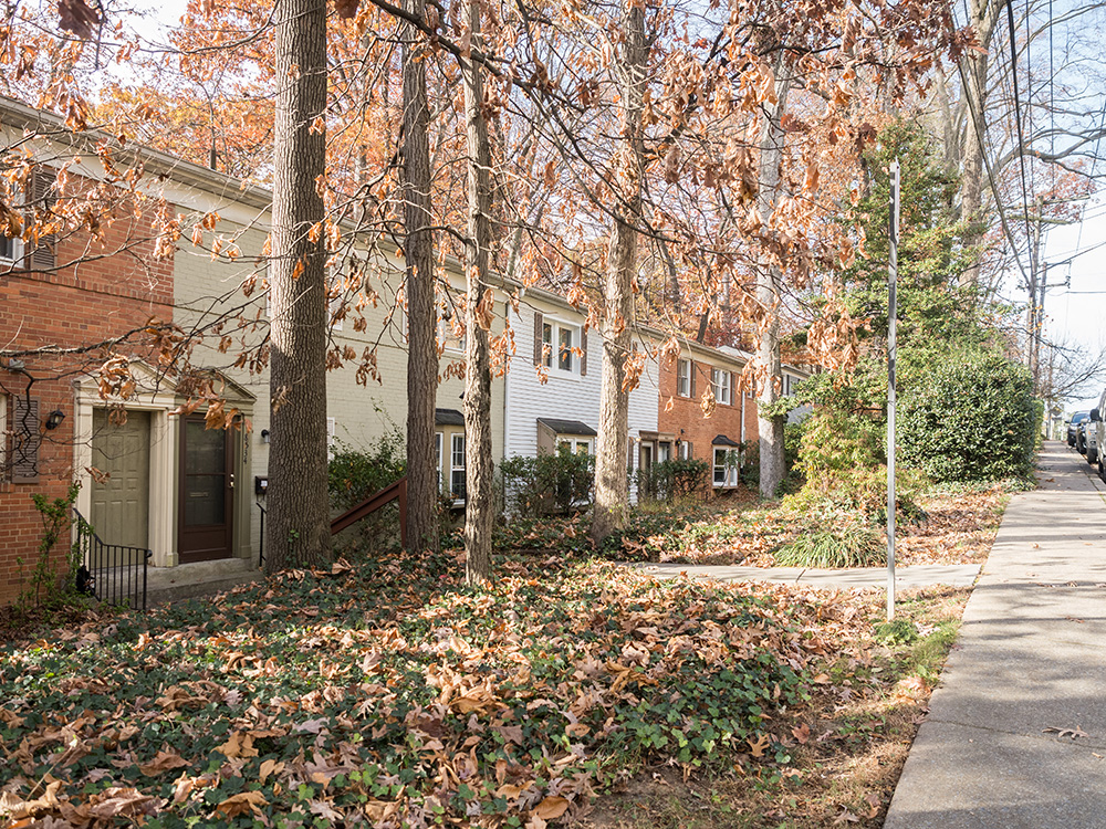
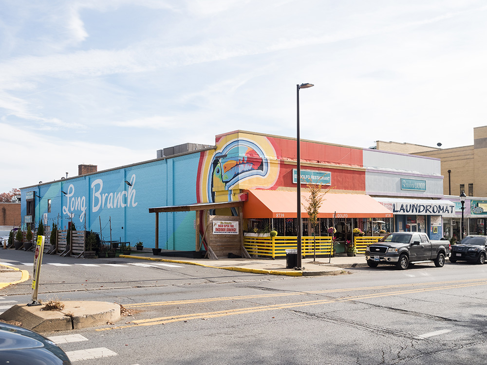
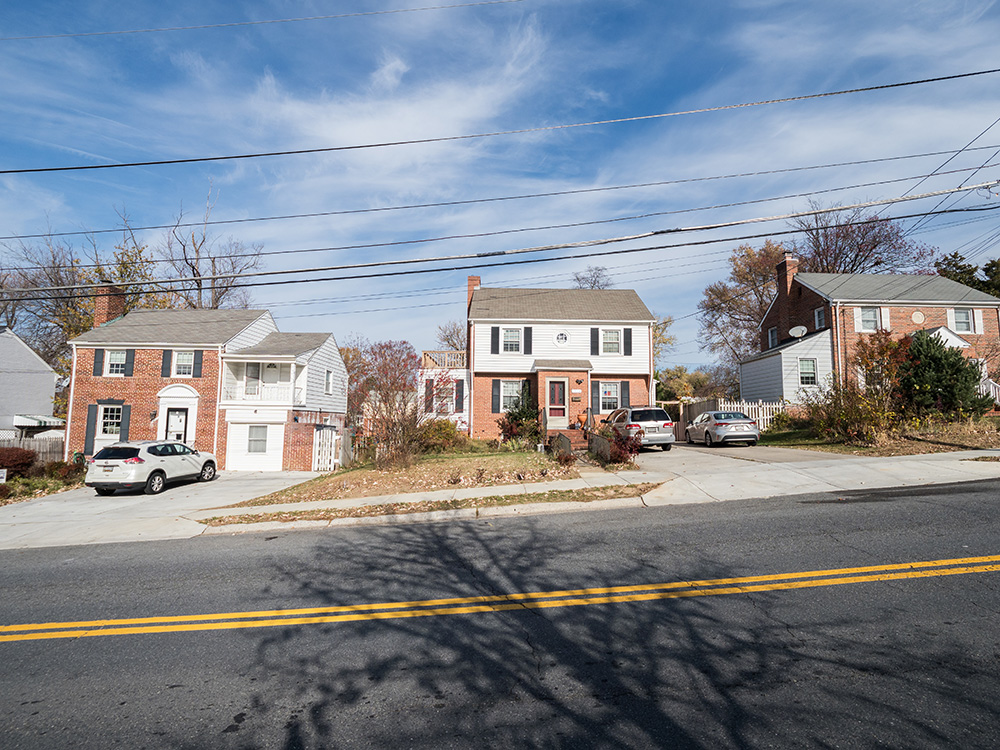
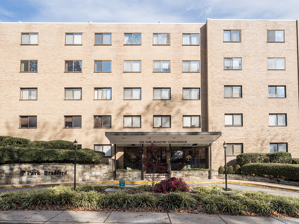
To help the planning team and community focus their work, the Montgomery County Planning Board approves a “Plan Area”, a defined geographic area legally required for each master plan. A master plan can only recommend new zoning and other changes for properties and streets included within the Plan Area. On May 16, 2024, the Planning Board approved the Plan Area outlined in dashed red in the map above. The Plan Area includes sections of three Growth Corridors identified by the county’s updated General Plan, Thrive Montgomery 2050 – Colesville Road, University Boulevard, and New Hampshire Avenue – and includes single-family and multi-family residential, commercial, and institutional properties, as well as the Long Branch, Northwest Branch, and Sligo Creek Stream Valley parks.
Frequently asked questions
No. Each master or sector plan focuses on its unique plan area. The Silver Spring Downtown and Adjacent Communities Plan is complete, approved and adopted. The Eastern Silver Spring Communities Plan will focus on the issues and context specific to communities east of Sligo Creek.
The Plan Area is a defined geographic area legally required for each master plan. A master plan can only recommend zoning changes for properties included within the Plan Area. The Planning Board will approve the Plan Area as part of the Scope of Work. Staff anticipates taking a draft Scope of Work to the Planning Board in Spring 2024.
The Study Area looks beyond the Plan Area and is used to better understand the greater context. The planning team identifies a Study Area larger than the Plan Area and which typically follows Census Tract boundaries. Staff will gather data and more-qualitative information about the Study Area as part of the existing conditions analysis and this, paired with community engagement, will help determine the Plan Area boundary.
A portion of the Plan Area of the Takoma Park Minor Master Plan Amendment (TPMMA) is within the Study Area for the Eastern Silver Spring Communities Plan to help provide information about the larger context of the area. The TPMMA is anticipated to be approved by County Council in 2024, and therefore, staff will not recommend including any area in the TPMMA in the Plan Area for the ESSCP, which is scheduled to be presented to the Planning Board as part of the Scope of Work in Winter 2024.
The Study Area covers a significant portion of the Purple Line, east of Sligo Creek. Staff will include the Purple Line in existing conditions analysis, which will inform the development of recommendations as the plan process moves forward.
Thrive Montgomery 2050 is the county’s General Plan and guides all new master plans in the county. The master plan process will work with the community to build on the broad priorities of Thrive to develop community-specific recommendations.
The Silver Spring Communities Plan has been renamed and refocused as the Eastern Silver Spring Communities Plan. The Study Area for the plan is roughly from Sligo Creek east to Prince George’s County inside the Capital Beltway.
Project timeline
-
Summer 2023 – Winter 2024Existing Conditions Analysis
-
Spring 2024
-
Fall 2024/Spring 2025Community Visioning
-
Winter 2025Preliminary Recommendations presented to Planning Board
-
Spring 2026Working Draft presented to Planning Board
-
Summer 2026/Fall 2026Planning Board Public Hearing, Work Sessions and Draft
-
Winter 2026/Spring 2027County Executive Review, County Council Public Hearing, Review and Work Sessions
-
Spring/Summer 2027Commission Adoption of Plan and Sectional Map Amendment