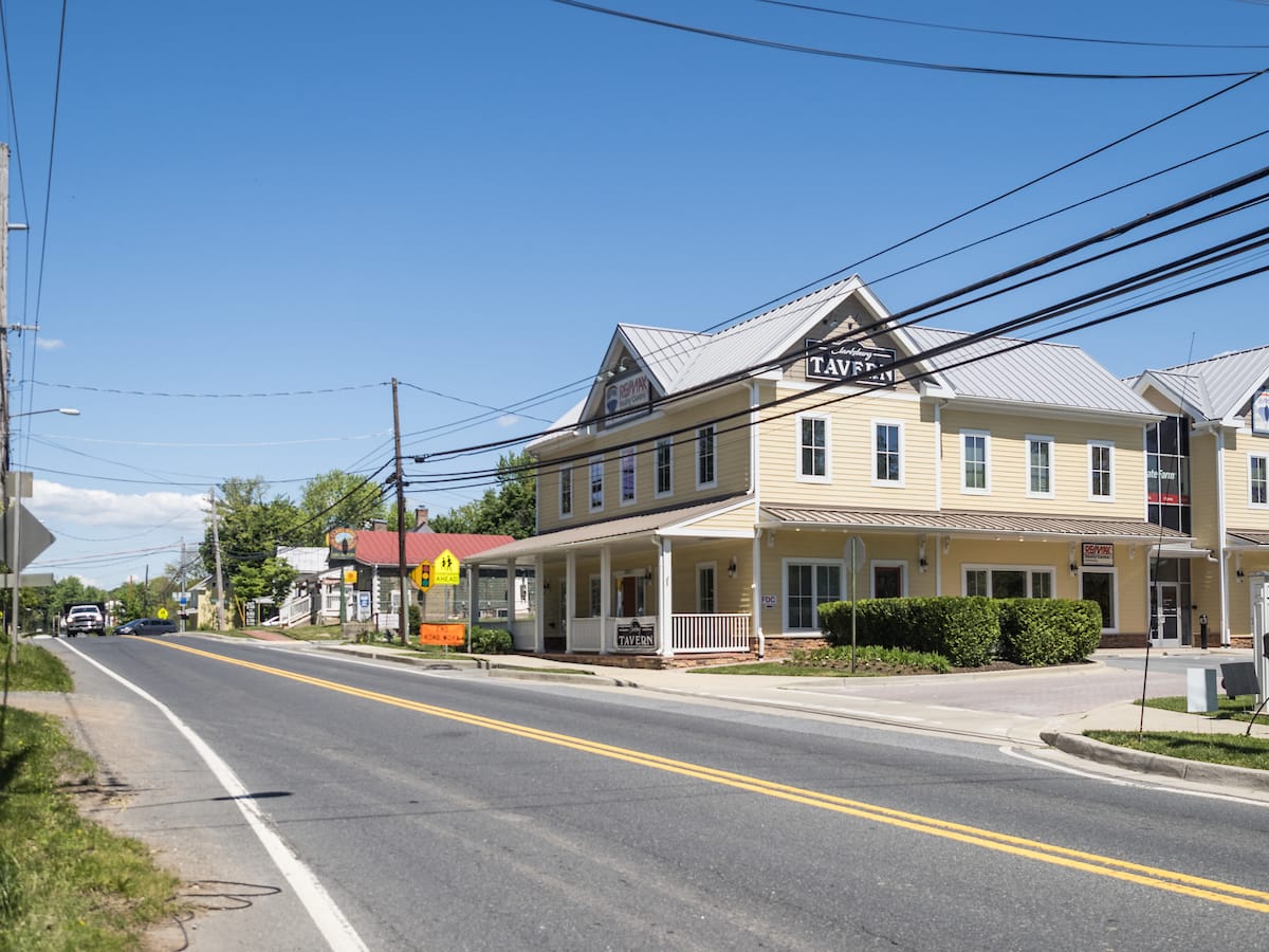
Draft recommendations set a vision for an area of Clarksburg east of I-270
Wheaton, Md. – The Montgomery County Planning Department, part of The Maryland-National Capital Park and Planning Commission (M-NCPPC), briefed the Montgomery County Planning Board on the preliminary recommendations for the Clarksburg Gateway Sector Plan at its June 5 meeting. The Clarksburg Gateway Sector Plan focuses on an area of Clarksburg that is east of I-270 and west of Frederick Road (MD 355).
Read the Clarksburg Gateway Sector Plan Preliminary Recommendations.
Key preliminary recommendations include:
- Change existing employment-oriented zones on select properties in the Sector Plan area, to commercial-residential zones (CR and CRT) to add land use and development flexibility for new development projects, with modest increases to maximum allowable development density.
- Provide new residential developments with at least 15% Moderately Priced Dwelling Units (MPDUs).
- Remove from the Master Plan of Highways and Transitways an unbuilt highway interchange on I-270 between existing Exit 16 (Ridge Road) and Exit 18 (Clarksburg Road). Instead, construct a bridge over I-270 at this location to improve multi-modal east-west movement, with the future completion of Little Seneca Parkway.
- Complete Observation Drive through the plan area in coordination with future development, with a shifted roadway alignment away from sensitive environmental areas and residential neighborhoods.
- Recommend a new master planned ‘main street’ through the former COMSAT Laboratories property as a central spine for future development of a new activity center in Clarksburg.
- Meet or exceed environmental design and protection techniques with new development as established by the latest adopted Montgomery County Planning Board Environmental Guidelines, especially those standards applicable to the Ten Mile Creek Special Protection Area and Clarksburg Special Protection Area.
- Preserve land along the stream valleys of Little Seneca Creek tributaries by private conservation easement or by establishing or expanding public parkland in recommended locations.
- Designate the Community of Faith United Methodist Church and the Clarksburg Heights subdivision as Historic Sites in the Master Plan for Historic Preservation.
Work on the plan began in Spring 2023 when the Planning Board approved the Scope of Work and Plan Area Boundary. Following the approval, planners facilitated conversations with the Clarksburg community to understand the opportunities and challenges for the plan area. Following a series of meetings, canvassing, listening sessions, and visioning workshops, planners presented the “emerging ideas” of the plan to the community in January 2025. Feedback on these ideas was collected and ultimately crafted into the plan’s preliminary recommendations.
Next steps
Planners will bring in feedback from the Planning Board on the preliminary recommendations and begin to draft the first draft of the plan (called the Working Draft). Following the presentation of the Working Draft to the Planning Board, the Board will set a public hearing to receive written and oral testimony on the draft plan and will hold work sessions for the plan. The draft plan will then be transmitted to the Montgomery County Council for review by the end of the year.
About the Clarksburg Gateway Sector Plan
The Clarksburg Gateway Sector Plan is an update to the 1994 Clarksburg Master Plan and Hyattstown Special Study Area, which was last revised with the 2011 Clarksburg Master Plan and Hyattstown Special Study Area Limited Amendment and the 2014 10 Mile Creek Area Limited Amendment. The plan area consists of approximately 969 acres and is generally bounded by I-270 to the west, West Old Baltimore Road and the Little Seneca Greenway to the south, Clarksburg Road to the north, and Frederick Road (MD 355) to the east.
The plan will focus on a portion of the Transit Corridor District and small parts of a few surrounding areas, including the I-270 corridor—a significant employment resource for the county and the region. By evaluating land use, zoning, transportation, environmental, and historic preservation to determine if a new mix of land uses and zoning would be more appropriate for this area, this plan will make recommendations for how best to update the 1994 plan and its 2011 and 2014 amendments for an improved Transit Corridor District, including interchange design, staging of retail development, transportation corridors, and environmental recommendations.
The plan will also provide an opportunity to integrate policy guidance from countywide plans and initiatives, including Corridor Forward: The I-270 Transit Plan, the Pedestrian Master Plan, Complete Streets Design Guide, Thrive Montgomery 2050, the Climate Action Plan, and Vision Zero, as well as employ a robust outreach and engagement strategy to create a plan that advances racial equity and social justice.
Major properties in the plan area include the Gateway 270 office park, the former Communications Satellite Corporation (COMSAT), Clarksburg High School, Rocky Hill Middle School, and the residential neighborhoods of Gateway Commons, Gallery Park (formerly Eastside), Hurley Ridge, Clarksburg Square (formerly Garnkirk Farms), and Dowden’s Station. Other areas in the plan have largely been developed according to the 1994 Plan or have been evaluated as part of the 2014 10 Mile Creek Area Limited Amendment and therefore, don’t need to be evaluated at this time.