Explore your priorities for funding pedestrian improvements
Montgomery Planning is developing Montgomery County’s first Pedestrian Master Plan to make walking and rolling safer, more comfortable, more convenient, and more accessible for all pedestrians. To guide the creation of the plan’s nearly 100 draft recommendations, Montgomery Planning collected data on existing conditions throughout the county and on pedestrian perspectives about how safe, convenient, and accessible it is to walk and roll here.
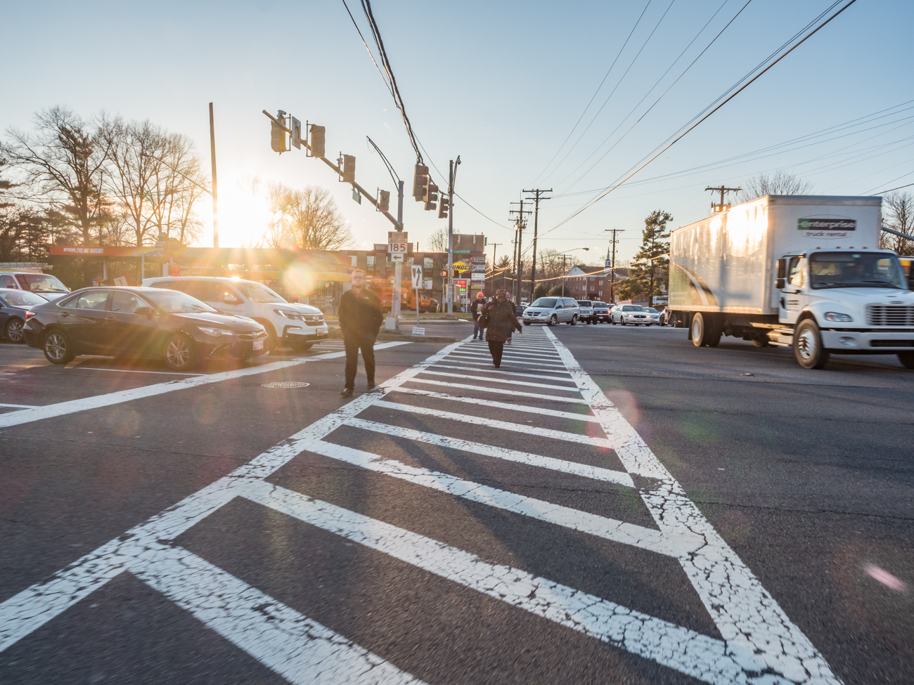
The data show that, like other communities around the country, Montgomery County underinvested in pedestrian connectivity, comfort, and safety for decades while prioritizing vehicle travel. This means that, moving forward, the county needs to make sustained, targeted investments in pedestrian enhancements to make it safer and more comfortable to walk and roll. The challenge is prioritizing how to deploy limited resources for pedestrian infrastructure improvements such as more or better sidewalks and crosswalks, pedestrian signals at intersections, additional protected pedestrian crossings, improved pedestrian signal timing, and many others.
Montgomery Planning is asking for your help to identify how and where you would prioritize pedestrian infrastructure improvements. This feedback will help inform equitable and data-driven decision-making on the Pedestrian Master Plan’s recommendations and its future implementation as we work to improve the pedestrian experience across the county.
Montgomery Planning has created the Pedestrian Prioritization Tool that allows you to share your priorities for improving the pedestrian experience with us. The tool identifies 10 factors (characteristics or community conditions) that can help prioritize locations for pedestrian infrastructure improvements. Descriptions of the Pedestrian Prioritization Tool factors are below. Assign 100 points across the different factors, based on what you value most in improving the pedestrian experience in Montgomery County. When you are finished, the tool’s map will display the areas your scoring would prioritize. Please note the Cities of Rockville and Gaithersburg are not included in the Pedestrian Prioritization Tool map because these areas are outside of Montgomery Planning’s jurisdiction.
Show us where your priorities lie and help influence how the Pedestrian Master Plan (English | Español) guides the county’s future improvements!
How to use the tool
- REVIEW. Review the ten prioritization factors to consider which ones are most important to you.
- VALUE ASSIGNMENT. Assign between 0 and 100 points to each factor, with more points assigned to those factors that are more important to you. The points must total 100.
- Click “Visualize” to see where your priorities would target investments in pedestrian improvements in the county. The darker the color, the higher priority that area would be based on the priorities you identified through your scoring.
- Click “Submit Prioritization” to send your prioritization factor scoring and the resulting priorities map to Montgomery Planning. If desired, please include your email address, zip code, and/or a comment about your approach.
- GET UPDATES. Sign up for our e-letter to stay up to date on future Pedestrian Master Plan developments!
For assistance using the tool please contact lead planner Eli Glazier via email.
Prioritization factors
Pedestrian Prioritization Tool Factors:
- Greater pedestrian activity: Prioritizes places where more people are walking today, based on a model developed by Montgomery Planning’s Predictive Safety Analysis
- More pedestrian crashes: Prioritizes places where most crashes that harm pedestrians take place based on police crash reports
- Less comfortable pedestrian pathways: Prioritizes places with more pathways (sidewalks, trails, or streets without sidewalks) that score as Undesirable in the Pedestrian Level of Comfort analysis (e.g. narrow/missing sidewalks, sidewalks adjacent to high speed roads with narrow or missing street buffers, etc.)
- Less comfortable pedestrian crossings: Prioritizes places with more street-crossing locations that score as Undesirable in the Pedestrian Level of Comfort analysis (e.g. four to six lanes of high speed traffic to cross, no traffic signal or stop sign to enable crossing, etc.)
- Missing Sidewalks: Prioritizes places with more gaps in sidewalk coverage along non-residential streets
- An Equity Focus: Prioritizes Equity Focus Areas, places identified by Montgomery Planning as having high concentrations of lower-income people of color, who may also speak English less than very well.
- Commercial areas: Prioritizes places that meet the definition of Downtowns or Town Centers in the county’s Complete Streets Design Guide
- Greater school access: Prioritizes places where more people can walk to a Montgomery County Public School
- Greater transit access: Prioritizes places where more people can walk to a WMATA Metrorail station, MARC station, planned Purple Line station, or Bus Rapid Transit station
- Sidewalks in poor condition: Prioritizes places where a county survey found that inaccessible, broken sidewalks are more common
Pedestrian Prioritization Tool Methodology
- Data for each prioritization factor were assembled within individual, equally sized areas (represented by hexagons in the map).
- Within each hexagon, each of the 10 prioritization factors was scaled between 0 and 1 to reflect how strongly that factor is represented in that area relative to all other areas.
- For each prioritization factor, the Pedestrian Prioritization Tool multiplies the user-assigned weighted points by the scaled value and then sums the totals for each prioritization factor to create a final priority score for that area.
- The hexagon is assigned a color based on how its final priority score compares to those in other areas.
- Areas colored darker are higher priority areas based on how the weighting of prioritization points in that visualization.