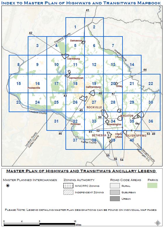
The Master Plan of Highways and Transitways (MPOHT) is an active and evolving functional master plan that is amended with the completion of functional plans, area master and sector plans, and corridor master plans. Updated maps and tables documenting the current approved Streets and Transitway network can be obtained by selecting the “Approved Streets and Transitways Network” tile below. This will provide access to the mapbook, a classification table, an interchange table, and a transit station table.
A web map showing the current amended MPOHT can be accessed by selecting the “Master Plan of Highways and Transitways Online Map” tile below. This web map shows existing and planned street classifications, all master planned transitways, master planned interchanges, and master planned transit stations.
Periodically, the MPOHT requires a countywide technical update to ensure that transportation investments are being evaluated and considered consistently across the county consistent with current county policy. The last Technical Update was completed in 2018 and can be accessed by selecting the “2018 Technical Update” tile below.
An update to the Master Plan of Highways and Transitways is now underway. The “2025 Technical Update” tile can be selected to access the Master Plan website for this effort.
Geography
The plan encompasses the entire County, less the seven municipalities that have their own planning authority: Rockville, Gaithersburg, Laytonsville, Brookeville, Poolesville, Washington Grove, and Barnesville.


