Overview
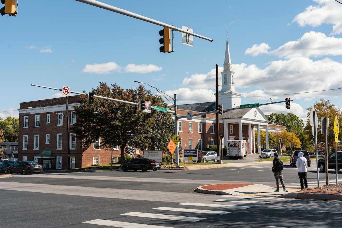
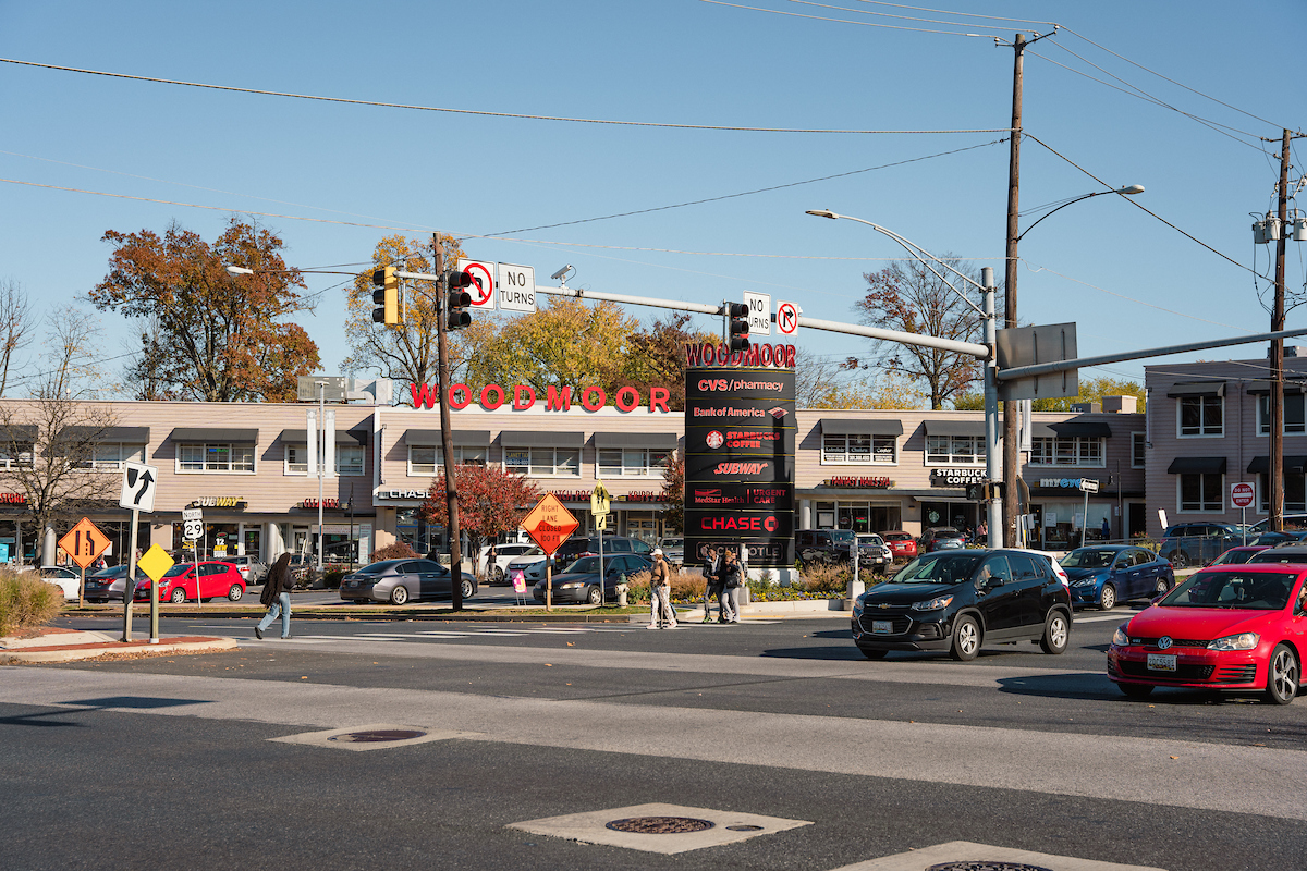
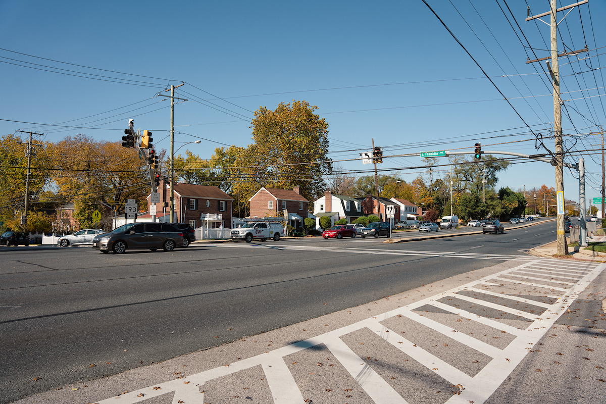
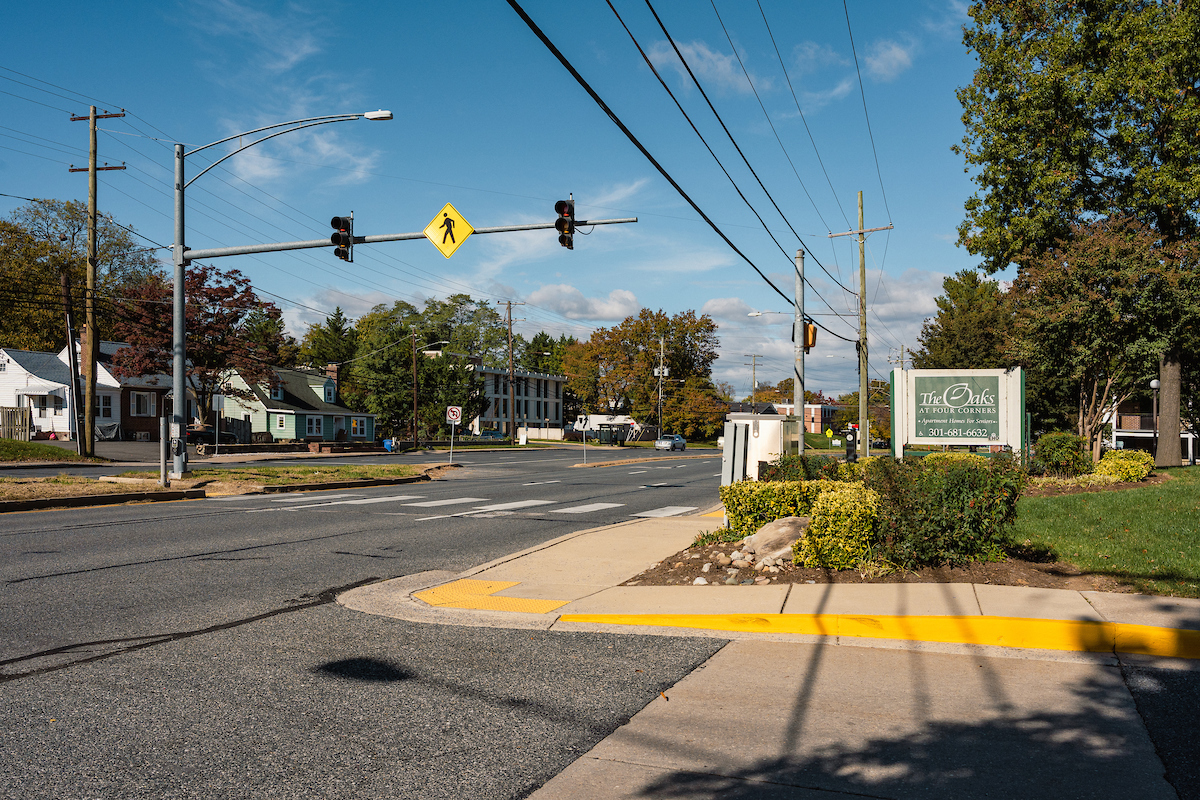
The University Boulevard Corridor (UBC) Plan builds on previous plans and policies, including the 2013 Countywide Transit Corridors Functional Master Plan, Thrive Montgomery 2050, and Vision Zero. The UBC Plan focuses on a three-mile stretch of University Boulevard (MD 193), between I-495 and Wheaton, with the aim to address community needs related to traffic safety, regional connectivity, environmental sustainability, corridor-focused growth, and economic development. The plan explores opportunities for new development, bikeways, and bus rapid transit (BRT), as well as the creation of a complete street with wider sidewalks, comfortable public transportation stops, and safe access. The University Boulevard Corridor Plan is part of a larger vision for compact, corridor-focused growth supported by an excellent transit system and a safe, appealing network for walking, biking, and rolling.
Planning Board Draft
The Montgomery County Council voted to approve the University Boulevard Corridor Plan on December 9, 2025. The Approved and Adopted version of the plan will be available shortly.
Answers to Community Questions About the Draft Plan
Montgomery Planning staff developed answers to the most common community questions we’ve heard about the draft plan.
Key Elements
- To promote sustainable growth patterns, provide more housing options, and enhance transportation safety, rezone properties that: abut University Boulevard; are institutional properties, such as properties used for religious assembly; are existing single-use commercial shopping centers. The zoning changes provide property owners with more flexibility for what they can build on their properties if they choose to make changes. The Kemp Mill Shopping Center and the Yeshiva of Greater Washington properties have been removed from the plan area and will not be recommended for rezoning.
- Establish an overlay zone, which the County Council approved today, to promote a diverse range of housing options in a compact, transit-oriented form of growth that supports bus rapid transit (BRT) on University Boulevard and Colesville Road, creates complete communities, and improves safety for all travelers in the plan area. The overlay zone applies to properties the plan recommends for rezoning and considers elements including building placement, site coverage, provision of public open space, and uses to support plan objectives and provide a transition from the corridor to the neighborhoods.
- Locate higher building densities and a mix of uses at locations near BRT stations with existing commercial properties, including the WTOP property and Four Corners, and ensure new development transitions from larger to smaller buildings to adjacent residential properties.
- Implement a connected transportation network, comfortable walkways, and low-stress bicycle facilities, as well as right-size roadways and intersections to create a safer and more comfortable environment for people who are walking, rolling, bicycling, riding transit, and driving.
- Provide safe, accessible, and healthy travel options for people walking, biking, rolling, riding transit, and traveling in cars in the Four Corners area.
- Improve pavement markings, lighting, and sight distance and explore protected crossings at the interchanges with I-495 at Colesville Road and University Boulevard to improve safety for all modes of transportation.
- Make University Boulevard more resilient to climate change by incorporating tree canopy, shaded bus stops, improved stormwater management, and landscaped buffers.
- Amend the Montgomery County’s Master Plan for Historic Preservation to include the Romeo and Elsie Horad House at 2118 University Boulevard West. The house represents the efforts and achievements of the African American couple and their relatives to improve conditions for African Americans in the Washington, DC region.
Process and timeline
-
Spring 2022 – Fall 2022Pre-Planning and Engagement Planning staff began gathering background information, compiling relevant policies, and making connections with community members, including residents, property owners, business owners, and other stakeholders in the area.
-
Winter 2023 – Fall 2023Scope of Work The Montgomery County Planning Board approved the Scope of Work for the University Boulevard Corridor Plan on February 16, 2023. View the Scope of Work and February 16 Planning Board presentation.
Community Outreach and Engagement Robust community engagement and meaningful participation in the planning process are critical to developing the plan. The engagement strategy focuses on face-to-face interactions with people at places and events in their communities and sharing information in ways that helps people understand land use planning concepts and how they can be applied in their neighborhoods. Learn more about the plan’s equitable engagement strategy and activities.
Existing Conditions Analysis Planning staff analyzed the area’s economic market, land uses, and transportation conditions and presented a report to the Planning Board on October 5, 2023. The presentation included an overview of the community engagement efforts and feedback received. View the staff report, watch the Planning Board briefing, and download the slides. -
Winter – Summer 2024Emerging Ideas Planning staff developed and shared the plan’s emerging ideas with community members, property owners, and stakeholders as well as presented them to the Planning Board on June 27, 2024, for feedback. View the emerging ideas staff report and the June 27 Planning Board presentation.
-
Fall 2024Preliminary Recommendations Drawing on research, analysis, public input, and emerging ideas, Planning staff developed preliminary recommendations to share with the community and the Planning Board.
-
Winter 2025Working Draft Based on the refined preliminary recommendations, Planning staff will develop a Working Draft of the University Boulevard Corridor Plan.
-
Spring 2025Planning Board Public Hearing and Work Sessions After the Working Draft is completed, the Planning Board will hold a public hearing to get feedback and input from the public before holding work sessions to refine the document. The work during this phase culminates in the Planning Board Draft, which will be sent to the County Council for review.
-
Fall 2025County Council Public Hearing and Work Sessions The Planning Board Draft goes to the County Executive and County Council for review. The County Council holds a public hearing to get feedback and input from the public before holding work sessions with Council committees and the full County Council.
View the Planning Department memo responding to PHP committee comments. -
Winter 2026M-NCPPC Plan Adoption Once the County Council approves the plan, the Council-approved plan will go before the Maryland-National Capital Park and Planning Full Commission for adoption.
-
Summer 2026Sectional Map Amendment The Sectional Map Amendment (SMA) process is the final step in this process. The SMA implements all zoning recommendations approved and adopted in the plan. Staff prepares the documentation, and the Planning Board authorizes the filing of the SMA with the County Council. There will be a public hearing on the SMA, followed by work sessions, and finally a vote by the full Council before the SMA can be approved and the zoning map officially changed for public use.
Equitable engagement
From the fall of 2022 through the summer of 2025, Montgomery Planning staff conducted comprehensive, equitable community engagement for the University Boulevard Corridor Plan. This work ensured broad participation and input that reflects the community’s values and vision in the planning process.
The community outreach and engagement conducted for this plan has included:
- 20 community meetings
- 20+ neighborhood meetings, events, and festivals
- 10,600+ bilingual postcards, flyers, and letters
- 1,000 door knocks and conversations in six languages
- 3 interviews with En Sintonia
- Online questionnaire
- Interactive feedback map
- Zoning recommendations map
- One-on-one and small group meetings
To learn more about the outreach and engagement, see Appendix B of the Planning Board Draft.
Plan boundary
The plan area is centered on a three-mile stretch of University Boulevard (MD 193) from the edge of East Indian Spring Drive, just south of I-495, to Amherst Avenue in Wheaton. The plan boundaries were expanded based on conversations with the community in November 2022 and approved by the Planning Board as part of its approval of the plan’s Scope of Work on February 16, 2023.
Past events
Planning staff held in-person and virtual community meetings throughout the planning process. The recordings and presentations are provided below for the virtual meetings.
November 2022
- 11/2/22 – Open House held at Montgomery Blair High School from 7-9 p.m.
- 11/7/22 – Virtual Open House held online from 7-9 p.m. recording | presentation.
March 2023
- 3/8/23 – Community Meeting at Northwood High School from 7-9 p.m.
- 3/14/23 – Virtual Community Meeting held online from 7-9 p.m. recording | presentation.
April and May 2023
- Planner Luis Estrada stopped by En Sintonia to discuss the University Boulevard Plan. Watch the April 13, 2023 En Sintonia interview.
- 4/26/23 – Community Meeting at Montgomery Blair High School from 7-9 p.m.
- 5/3/23 – Virtual Community Meeting held online from 7-9 p.m. recording
- 5/17/23 – Community Meeting at M-NCPPC Wheaton Headquarters from 7-9 p.m.
- 5/24/23 – Virtual Community Meeting held online from 7-9 p.m.
June 2023
- 6/10/23 – Spanish Community Meeting at M-NCPPC Wheaton Headquarters recording
- 6/28/23 – Virtual Community Meeting held online from 7-9 p.m. recording
May 2024
- 5/7/24 – Community Meeting at Montgomery Blair High School from 7-9 p.m.
- 5/14/24 – Virtual Community Meeting held online from 7-9 p.m.: recording | presentation
- 5/22/24 – Community Meeting at Forest Knolls Elementary School from 7-9 p.m.
- 5/28/24 – Virtual Community Meeting held online from 7-9 p.m.: recording
September and October 2024
- 9/25/24 – Community Meeting at Forest Knolls Elementary School 7-9 p.m. presentation
- 10/15/24 – Community Meeting at Montgomery Blair High School from 7-9 p.m. presentation
- 10/22/24 – Community Meeting at M-NCPPC Wheaton Headquarters from 7-9 p.m.
- 10/30/24 – Virtual Community Meeting held online from 7-9 p.m.: recording
November 2024
- Planner Luis Estrada stopped by En Sintonia to discuss the University Boulevard Plan. Watch the November 21, 2024 En Sintonia interview.
January 2025
- Planner Luis Estrada stopped by En Sintonia to discuss the University Boulevard Plan. Watch the January 10, 2025 En Sintonia interview.
- Reunión comunitaria en español sobre recomendaciones del Plan del Corredor de University Boulevards, 15 de enero de 2025
Frequently asked questions
Thrive Montgomery 2050 ( Montgomery County’s General Plan) lays out an overarching vision for the county’s future that notes the importance of corridors, such as University Boulevard. Thrive states that corridors create a web, connecting residents to existing and future centers of activity and Complete Communities. These corridors also either have robust transit service in place (such as Metro and Ride On services) or planned (bus rapid transit) or are located close to existing concentrations of jobs, services, and infrastructure in ways that lend themselves to supporting more intensive development.
Looking ahead, Thrive highlights the importance of several existing and evolving corridors, including Rockville Pike/MD 355, Columbia Pike/US 29, Fairland and Briggs Chaney, and University Boulevard. The University Boulevard Corridor Plan is expected to be one of the first to follow that vision.
Thrive also designates different growth areas in the county including the Corridor-Focused Growth area, Limited Growth area and the Rural Areas and Agricultural Reserve. University Boulevard is included in the Corridor-Focused Growth area, an area that The General Plan states “should have the largest share of new growth” as it “encompasses the most developed part of the county with highest-density population and employment centers, and the infrastructure to support existing and new development” (p.72). Within the growth areas, Thrive also identifies “several existing and potential centers of activity at a variety of scales, including Large, Medium, and Small as well as Villages and Neighborhood Centers” (p.72). Along the University Boulevard Corridor Plan area, Wheaton is included as a large center and Takoma-Langley is included as a medium center.
Corridors have occupied a significant place in county planning since the 1964 Wedges and Corridors Plan. Similarly, the idea of focusing growth along corridors is far from new; prior plans, such as the Veirs Mill Corridor Master Plan and the White Flint Sector Plan, have addressed major roadway corridors. Existing corridors, such as MD 193, already play a significant role in the lives of the people who live near them, and what happens on the corridor can affect quality of life in meaningful ways. Additionally, corridors are also where the county envisions high-quality BRT transit, development opportunities, and economic connectivity and serve as connections to centers of activity.
The preliminary recommendations seek to provide opportunities for mixed-use development and new housing typologies along the corridor, near future bus rapid stations, and in the larger plan area. The plan area is now close to transit and future BRT, which makes it suitable for exploring additional housing opportunities.
In addition to housing at the BRT stations and along the corridor, the plan also explores the potential for growth with large institutional properties through infill, redevelopment, and co-location, and other uses. An example of this type of development is the recent approval of the Har Tzeon-Agudath Achim property located at 1910 University Boulevard West for new senior housing and a religious use.
The plan seeks to provide multiple safe and convenient transportation options for all travelers, regardless of age, ability, or mode of transportation. The plan prioritizes safety and choice, serving pedestrians, bicyclists, transit users, and vehicle passengers who live, work, learn, and visit the plan area over the through-movement of high-speed vehicles.
The plan recommendations seek to right-size roadways and intersections to create a safer and more comfortable environment for people who are walking, rolling, bicycling, riding transit, and driving and implement a complete network of comfortable walkways and low-stress bikeways, connected by safe, protected crossings.
At the moment, the County Council has not proposed any legislation regarding Attainable Housing Strategies so this plan does not incorporate the AHS recommendations made by the Planning Board. While UBC’s recommendations are based on current zoning, the University Boulevard Corridor Plan is an opportunity to change zoning along the corridor to help produce more housing options to residents and perspective residents and to create transportation safety improvements along the corridor.
Zoning is a legal classification that regulates the land uses and physical parameters of buildings on a property, including density, height, and placement. Properties in the plan area are predominantly zoned R-60 today, a residential detached zone in which the current predominant permitted use is single-unit household living, located in detached houses. The preliminary recommendations propose to change the zoning of corridor fronting blocks, properties within ¼ mile of future Bus Rapid Transit (BRT) stations, and institutional properties to a combination of Commercial Residential Neighborhood (CRN) and Commercial Residential Town (CRT). The Montgomery County Planning Board and the Montgomery County Council consider these recommendations through their review of the plan. Any zoning changes that are approved through the plan, are then implemented through a separate process known as a sectional map amendment. The change in zoning provides property owners the choice to build additional housing types on their property—but there is no obligation to do so.
Zoning changes do consider context with regard to heights and building placement, when an apartment, multi-use, or general building type in a Commercial Residential Neighborhood (CRN) or Commercial Residential Town (CRT) abuts a property in a Residential Detached or Residential Townhouse zone. For example, if your property is proposed to retain its current R-60 zoning but is located across the street from a property proposed to be zoned CRN, any apartment, mixed-use, or non-residential building is required to provide side and rear yard setbacks equal to 1.5 times the setbacks required in the R-60 zone and transition in height.
Changes to the county’s zoning code will allow you to choose to build more or different units on your property—but you are under no obligation to do so. If you like your single-family home, you can keep it! No homeowners will be obligated to build specific housing types; zoning changes would just allow property owners to choose to build different types of homes.
No. The change in zoning provides property owners the opportunity – and more importantly, the choice – to build additional housing types, but the county will not use eminent domain to acquire your house to build more housing.
The core purpose of any zoning changes will be to make housing more attainable in UBC—primarily by allowing more kinds of homes in more places. Whether a developer is building near a Metro station or an individual homeowner wants to add an accessory unit to their property, having options on the supply side means we’ll have options on the demand side, too. It’s also worth noting that the only change to housing we’re talking about here—and indeed, the only type of policy change Montgomery Planning is empowered to recommend—is to zoning, which requires a public hearing before both the Planning Board and the County Council. Zoning merely describes what kinds of buildings and development are allowed where; again, this is about giving property owners options, not compelling anyone to build.
As part of the master plan process, Planning staff evaluates how the Plan’s recommendations will affect infrastructure and coordinates with relevant county agencies and service providers to determine if additional facilities and infrastructure will be needed to accommodate the growth anticipated in the Plan’s vision.
In addition to the process that occurs with the master plan, the Planning Board only approves new development after determining that the surrounding infrastructure, such as sidewalks, roads, and schools, can meet the needs of new residents, visitors, and students. The Growth and Infrastructure Policy, which establishes a process for analyzing a new development’s impact on public infrastructure and sets standards for determining if the infrastructure is adequate to accommodate the proposed development, guides how the Planning Board makes that determination by setting standards for evaluating public infrastructure and the impact an individual development may have on it. It also outlines how a developer can bring infrastructure up to standard so the project can proceed. Montgomery Planning initiates an update to the GIP every four years to ensure that the county is using the best tools to advance our goals.
The Plan makes two distinct sets of transportation recommendations for University Boulevard:
- Outside Four Corners (approximately west of Lorain Avenue and east of Lexington Drive): The Plan recommends maintaining the existing location of street curbs. From those existing curbs, the Plan recommends moving the sidewalks 8 feet outward (i.e., away from the center of the street) to accommodate space for landscaped street buffers and a wider sidepath that can safely accommodate people walking, biking, and rolling. A 2-foot maintenance buffer (e.g., a grass strip) outside each sidepath is also required. While the Plan does not recommend widening the roadway itself, the Plan does anticipate needing the 124-foot right-of-way identified in previously adopted master plans to accommodate landscaped street buffers, pedestrian and bicycle facilities, and maintenance buffers, as shown in the below figure. The existing right-of-way varies along the corridor, but it is generally narrower than 124 feet. The additional right-of-way needed to accommodate the Plan’s recommendations will require dedication through redevelopment or partial acquisition along property frontages, which will be determined at the time of future redevelopment or detailed engineering of capital improvements in consultation with the property owner.
- Within Four Corners (approximately between Lorain Avenue and Lexington Drive), the plan recommends repurposing one traffic lane per direction as a dedicated transit lane. In addition, the plan recommends narrowing the remaining existing traffic and turn lanes to 10 feet each, moving the curbs inward (i.e., toward the center of the street), and minimizing the acquisition of additional right-of-way to make space for landscaped street buffers and wider sidewalk and sidepath facilities for people walking, biking, and rolling; the plan anticipates a need for between zero and four feet of additional right-of-way (through redevelopment or a capital project) on each face of University Boulevard. The plan also includes a recommendation for an interim condition that does not provide the recommended buffers and wider sidewalk and sidepath facilities and does not require additional right-of-way.

A robust multimodal network can actually improve traffic conditions for drivers, particularly when it’s coupled with a mixture of land uses that allow people more access to their daily needs on foot, by bicycle, or in a short public transit trip. Alternative modes—from good sidewalks to Metrobus coverage—mean fewer cars on the streets. The University Boulevard Corridor Plan emphasizes walkability for a reason—we hope to put more housing options near transit that minimize the need for driving in the first place. Multimodal improvements also improve roadway safety for drivers and people traveling in cars by reducing excessively wide roadways that facilitate speeding during off-peak times and encouraging the introduction of additional traffic signals that smooth vehicular traffic progression and provide safer vehicular access and turns.
The Commercial Residential Town (CRT) zone permits a mix of residential and non-residential uses to promote economically, environmentally, and socially sustainable development patterns where people can live, work, recreate, and access services and amenities. The Draft University Boulevard Corridor Plan recommends rezoning some larger sites, often with existing commercial or institutional uses, to CRT. The recommended rezoning includes some increases to height and the overall Floor Area Ratio (FAR), which is the ratio of a building’s total floor area to the size of the land on which it stands. The proposed zoning change governs the amount of commercial activity that can take place on the site and ensures that residential development comes with requisite public benefits and Moderately Priced Dwelling Units (MPDUs).
While the Draft Plan recommends rezoning properties, it is ultimately up to the property owner to decide whether to develop or sell the property. This often depends on the market and the property owner’s interest. A master plan cannot, and will not, force a property owner to sell, terminate leases, or redevelop.
No. The change in zoning provides the property owner the opportunity – and more importantly, the choice – to build additional retail, office, and residential uses, but the county will not use eminent domain to acquire the property to build these uses.
On Thursday, February 27, 2025, at 6 p.m., the Montgomery County Planning Board, part of the Maryland-National Capital Park and Planning Commission, will hold a public hearing on the Public Hearing Draft of the University Boulevard Corridor Plan.
The public hearing will occur in-person and online at the Maryland-National Capital Park and Planning Commission 2nd floor Auditorium of the Wheaton Headquarters Building, 2425 Reedie Drive, Wheaton, Maryland 20902. You can watch the Planning Board hearing online on the Planning Board website.
To testify, you must fill out the Sign Up to Testify form or call 301-495-4605 by 12 noon on Tuesday, February 25, 2025. Written comments may be mailed to Chair Artie Harris, Montgomery County Planning Board, 2425 Reedie Drive, Wheaton, MD 20902. The public record will remain open for written testimony through March 13, 2025.
For questions regarding the hearing, please send an e-mail to mcp-chair@mncppc-mc.org or call 301-495-4605.
