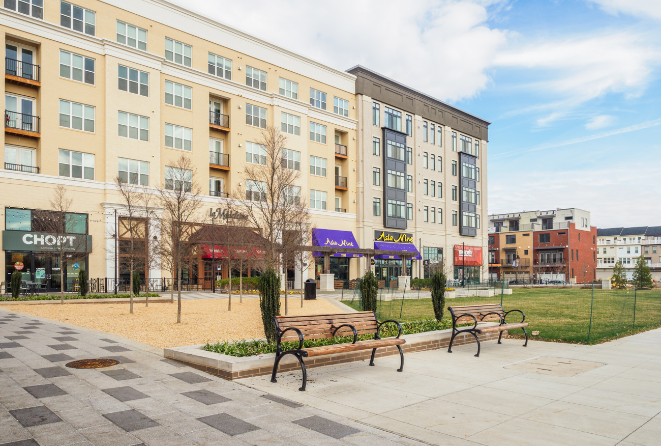
The Commercial/Residential (C/R) Zones are a family of mixed-use zones that allow a range of densities and heights. These zones are designed to
- encourage a mix of commercial and residential uses
- create interactive streets
- provide meaningful public spaces
- foster jobs and services where people can live, work, shop and play within a given neighborhood.
There are three Commercial/Residential Zone classifications which define the types of uses and the method of development allowed:
- CR Neighborhood (CRN)
- CR Town (CRT)
- Commercial Residential (CR)
The CRN Zone allows standard method development; the CRT and CR Zones allow standard and optional method development. Optional method development requires the provision of public benefits, which are based on a point system specified in the zoning ordinance. The Incentive Density Implementation Guidelines provide further criteria for Planning Department staff, the Planning Board, applicants, and citizens to evaluate the adequacy of the public benefits proposed in an optional method application.
The family of zones allows for a range of densities and heights – as low as 0.25 floor area ratio (FAR), near single-family neighborhoods, to 8.0 FAR, which may be used in areas with direct access to Metro Stations such as our Central Business Districts. Within this range, master plans use the flexibility of the zones to ensure that development fits within the context of each community. Once mapped with specific density and height limitations, the zone provides certainty for residents about the type of development they can expect. Any zone must be designated on the official zoning map approved by the County Council.
Latest Update of the CR Guidelines
Background
The original CR zone was established by Zoning Text Amendment 09-08 in 2010 for the Great Seneca Science Center and White Flint Master Plans. The CRT and CRN zones were established in 2011 by Zoning Text Amendment 11-01 for the Town of Kensington, Takoma Langley Crossroads and Wheaton Master Plans.
By creating CR zoning classifications for neighborhood, town, and metro settings, the zones offer:
- ways to soften the transition between mixed-use and residential areas
- address concerns about the proximity of some uses to single-family residential properties
- create rules for parking and drive-through design
For example, more intense uses are prohibited or require a public review process to mitigate impacts with increased setbacks, screening, or noise/light abatement. In addition, public benefit requirements are adjusted for small properties and lower density areas to address concerns about revitalization and redevelopment in particular areas.
In the CR and CRT zones, an upper limit for density is set by the zoning map and developers must provide public benefits to be allowed to develop to that limit.
| CR zone | Intent | Density & Height | Context |
|---|---|---|---|
| CR Neighborhood | Allows services commonly used by neighborhood residents; requires buffering for certain moderately intense uses; and prohibits uses deemed too intense | Limited to between 0.25 and 1.5 FAR and 25′-65′ height | Transitional edges, small neighborhood centers |
| CR Town | Flexible uses – some restrictions on commercial and flexible residential; site plan for some standard method; and sketch plan and public benefits up to 50 points required for optional method | Limited to between 0.25 and 4.0 FAR and to 35’-150′ height | Town centers, appropriate edge conditions |
| CR | Flexible residential and commercial uses; site plan for some standard method; and sketch plan and public benefits up to 100 points required for optional method. | Limited to between 0.5 and 8.0 FAR and 35′-300′ height | Town and urban centers with transit access and a variety of housing, services, and amenities |
CRN zones
These low-density, mixed-use zones don’t allow enough density to offset requirements for public benefits. Although public review may be required in many cases, additional public benefits are not required to develop in these zones.
CRT and CR zones
These allow two tracks for developers:
- Standard: allows builders to develop at lesser densities
- Optional: offers a range of incentives in exchange for full density. Optional method projects require an extra public plan review.
CR zones tie uses, density, and height together, providing greater predictability as to what can be built and how property can be used. Height and density recommendations will be developed with community input during the master planning process, then the zoning will specify those recommended densities and heights. These tools offer a more fine-grained approach to bring the community vision to reality.
Developers who want to build under the optional method of development will present a menu of public benefits that will be graded under a point system and analyzed for their ability to achieve master plan priorities. In return for the public benefits, they will be allowed to build to the density and height shown on the zoning map. Developers earn points based on a list of amenities, such as:
- Proximity to transit
- Location near retail establishments
- Creating safe and attractive pedestrian connections between streets
- Public parking
- Building lot terminations (BLT) to protect agricultural land
- Affordable housing
- Enhanced accessibility for the disabled
- Historic resource protection
- Public art
- Public open space
- Exceptional building design