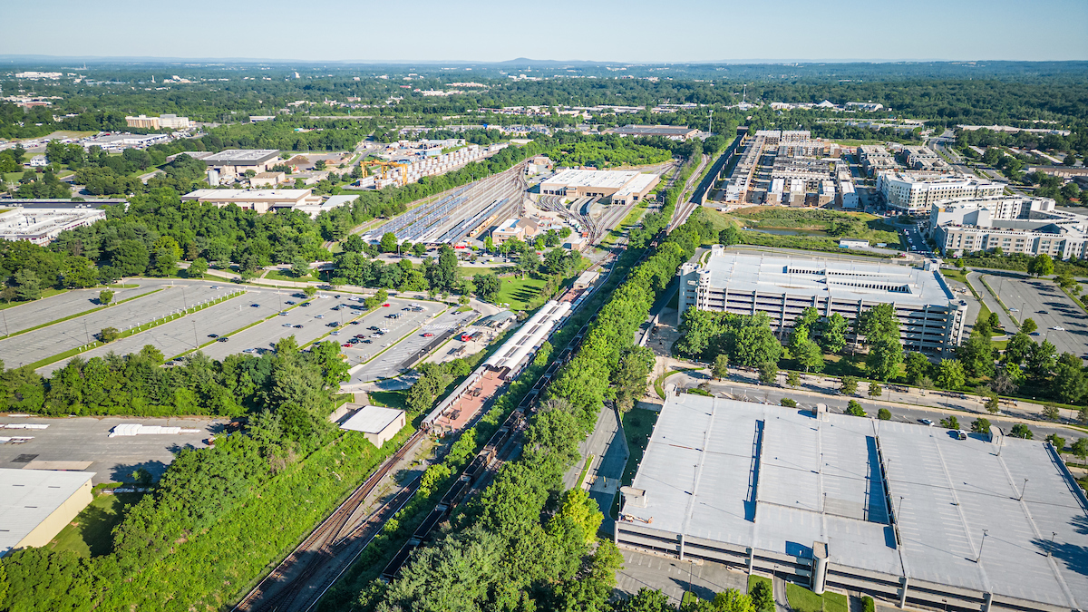
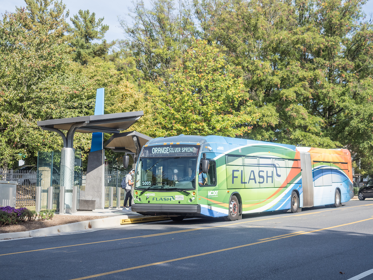
Montgomery County has a planned network of transitways to serve a variation of trip types and land use. These include two existing transitways (the WMATA Red Line and the MARC Brunswick Line) and 12 planned transitways (the Purple Line, the Corridor Cities Transitway, and 10 additional rapid transit corridors).
Purple Line
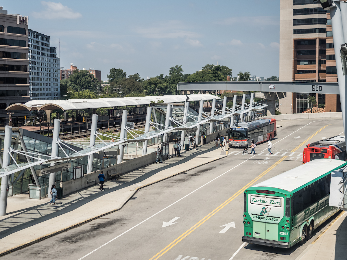
The Purple Line is a proposed 16-mile light rail line with 21 stations, which will run from Bethesda to New Carrollton and provide direct connections to Metrorail, local and inter-city bus, the MARC train and Amtrak.
Countywide Transit Corridors Functional Master Plan
The Countywide Transit Corridors Functional Master Plan provides enhanced opportunities for travel by transit to support Montgomery County’s economic development and mobility goals in an environmentally sustainable way, and in a way that preserves our existing communities.
Corridor Forward: The I-270 Transit Plan
Recommendations that improve transit access along the I-270 corridor as well as advance the county’s goals related to equity, environment, and economy. Read more.
Master-Planned Transit Corridors Map
Digital map that shows planned transit corridors in Montgomery County.
Implementation
Montgomery County Department of Transportation website tracking transit project implementation.
Transitway Preservation
As part of the development review process, the Montgomery County Planning Board requires developers to set aside property required for a transitway as a dedication, easement or reservation. Learn more about Transitway Preservation.