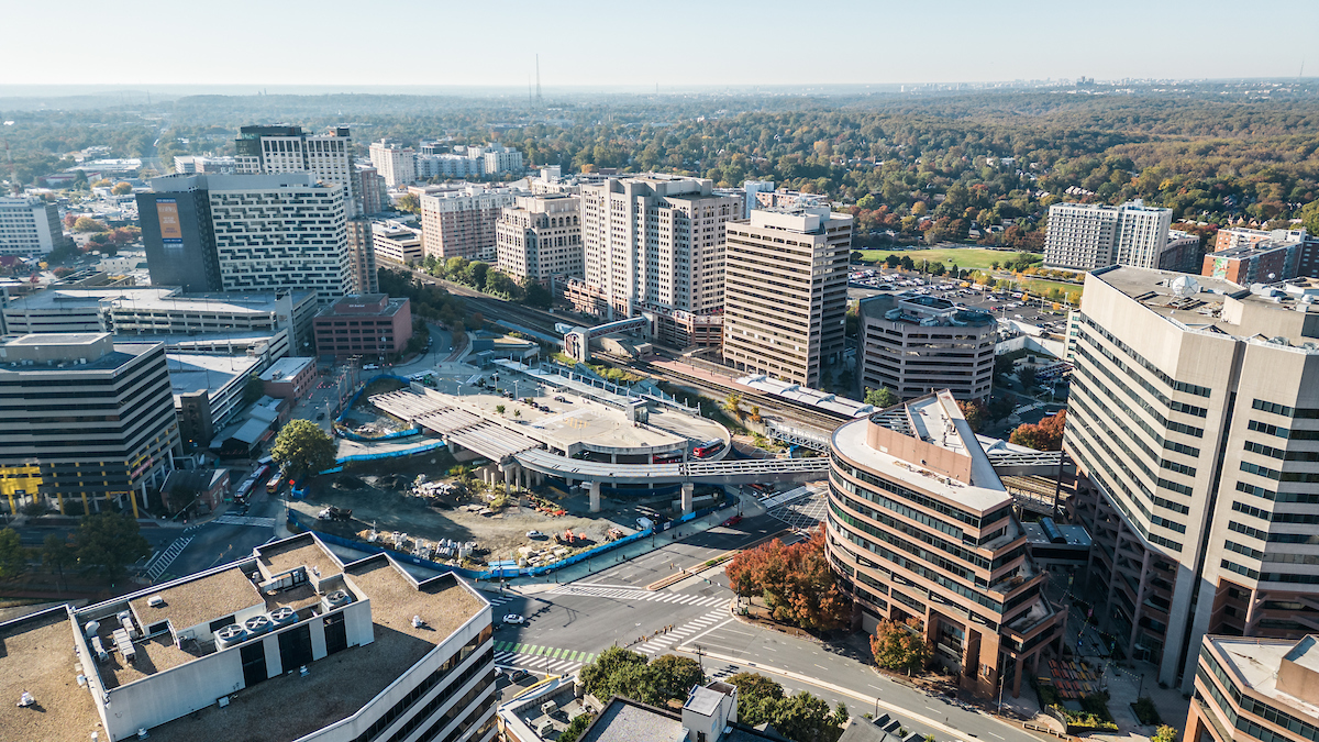

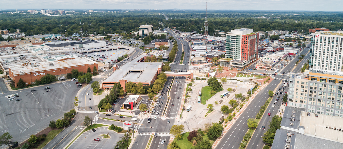

East County Planning is located northeast of Washington, DC, east of the City of Rockville, and south of Laytonsville. It shares a border with Prince George’s County. The planning division’s area also features major urban neighborhoods like Silver Spring, Wheaton, and Takoma Park as well as suburban destinations like Olney and Fairland. Major road networks such as the Intercounty Connector (MD-200), the Capital Beltway (I-495), Colesville Road (U.S. 29) and Georgia Avenue (MD-97) run through East County Planning’s geography.
This area of the county presents the opportunity to create communities that improve the quality of life, have a sense of place, and balance growth with the infrastructure to support it along major opportunity corridors. To accomplish this, development review and master planning in East County Planning will:
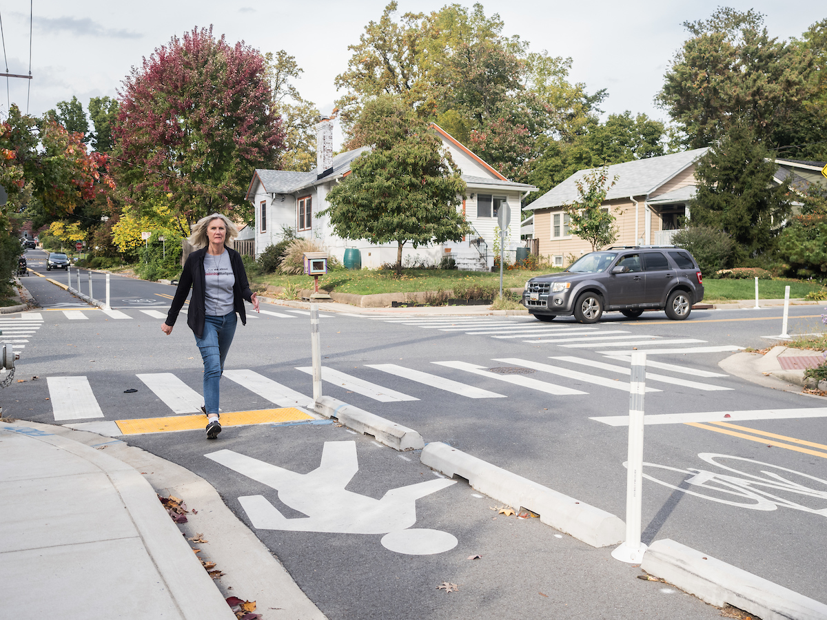
- Create interconnected communities that are livable, affordable, healthy, offer transportation choices, and have a mix of housing types
- Engage our diverse citizenry to guide change and creatively apply traditional planning approaches to achieve these goals
- Integrate innovative urban design solutions with multimodal transportation, and environmentally sensitive growth