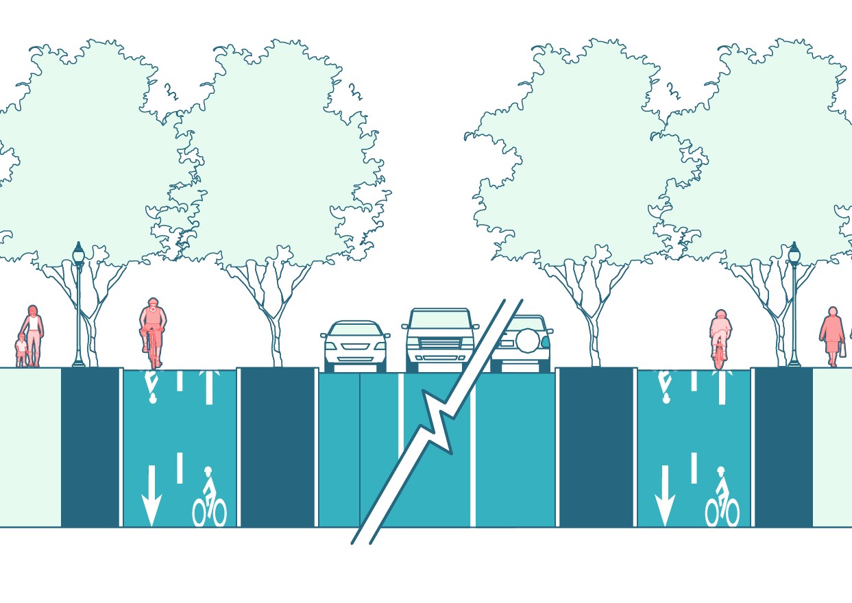
Complete Streets are roadways that are designed and operated to provide safe, accessible, and healthy travel for all users of our roadway system, including pedestrians, bicyclists, transit riders, and motorists.
About Complete Streets
Complete Streets are roadways that are designed and operated to provide safe, accessible, and healthy travel for all users of the roadway system, including pedestrians, bicyclists, transit riders, and motorists. On a Complete Street, it is intuitive and safe to cross the street, walk to shops, and bicycle to school. The approach to Complete Streets will vary in different parts of Montgomery County. This new document provides a one-stop guide for designing new streets and reconstructing or retrofitting existing streets following these principles:
- Safety – maximize safety for all (pedestrians, bicyclists, and motor vehicles),
- Sustainability – enhance ecological functions and economic appeal of a streetscape, and
- Vitality – create streets that are great, dynamic places.
The guide provides policy and design guidance on the planning, design, and operation of county roadways and will be used in the following situations:
- When designing future streets or reconstructed streets in an area experiencing redevelopment,
- When implementing a capital improvement project, such as the construction or reconstruction of a street, intersection, or bridge, and
- When resurfacing a street or conducting major work in the street, which may create an opportunity to reconsider some aspects of the street’s design.
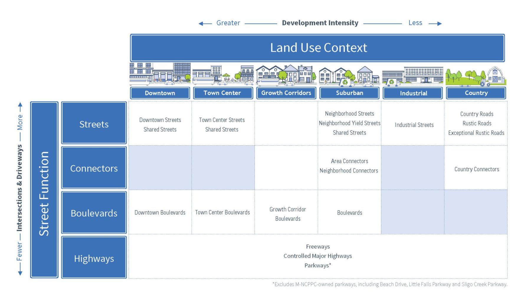
The Master Plan of Highways and Transitways identifies the Complete Streets roadway classification for major roadways in the county as well as area type designations (e.g. Downtown, Town Center, etc.). The Master Plan of Highways and Transitways webmap can be used to view the area type designations and street classifications.
Street Types
Montgomery County classifies streets based on both land use context and street function. The relationship between these two parameters is illustrated in the figure below, which shows how land use context and street function combine to create street types:
- Land use context refers to the intensity of planned developed, as defined by land use density and zoning and includes five land use types: Downtown, Town Center, Suburban, Industrial and Country.
- Street function classifies streets according to their ability to move traffic and provide access to adjacent properties, as defined by the amount of through traffic and the spacing of intersections and driveway. There are four street functions: Streets, Connectors, Boulevards and Highways
Video series
To help the community gain a better understanding of the Complete Streets Design Guide, here is a series of videos that provide an overview of street types and how they are classified.