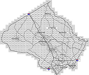
Listed below are the subdirectory folders for each WSSC tile number that Montgomery County is broken down into. Please refer to the accompanying map to determine which tile or tiles you are interested in. Then click that tile number in the list below where you can find the plan/topo and the property CAD files for direct download.