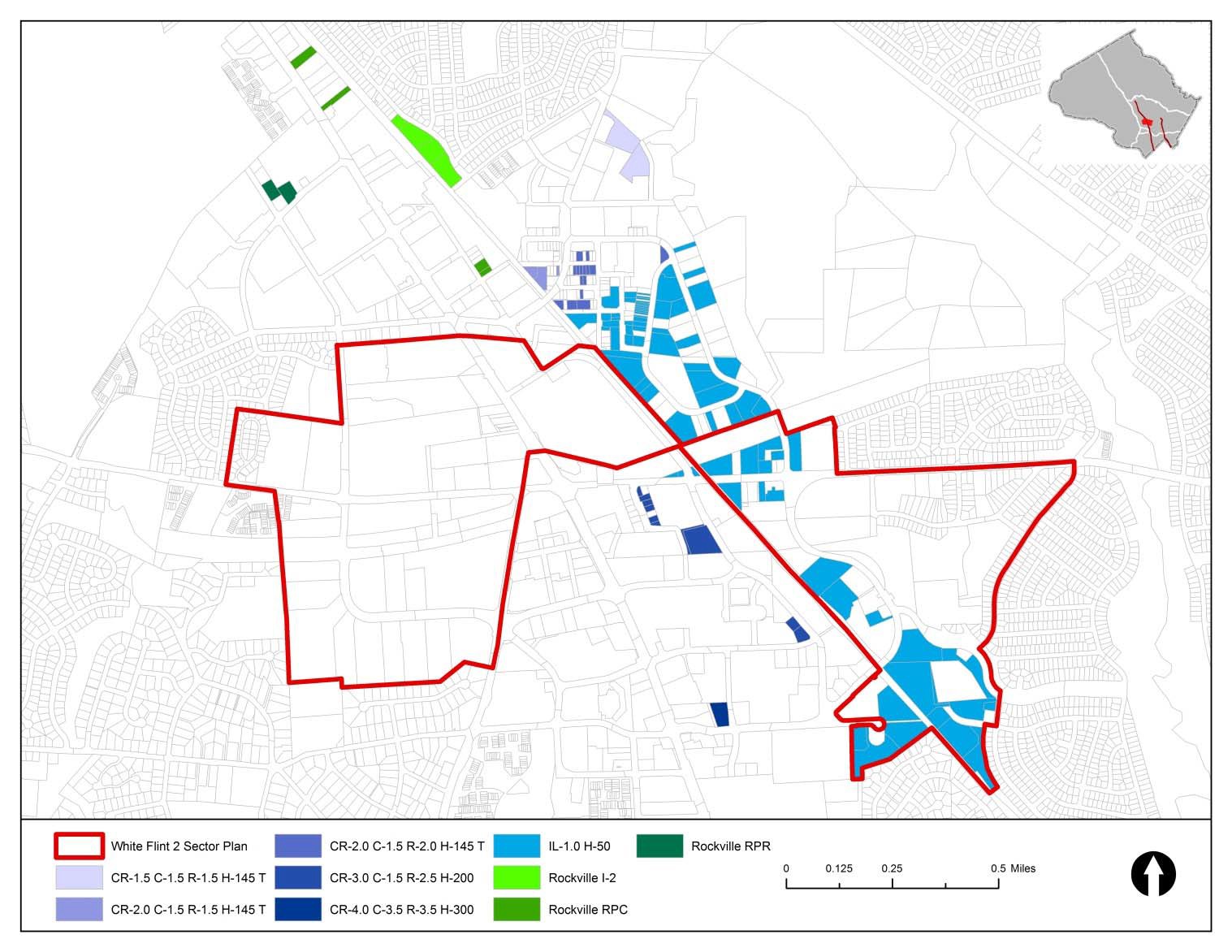
The White Flint 2 Plan aims to fill in the gaps between the areas covered by the 2010 White Flint Sector Plan, Twinbrook Sector Plan and the pending City of Rockville plan for Rockville Pike (MD 355). Its land use, zoning and transportation recommendations apply to properties in a bow-tie-shaped area between the boundaries of these already established Plans. White Flint 2 will link common elements between the Plan areas, including Rockville Pike and the proposed network of bike lanes and public open spaces.
Planners focused on parcels along Executive Boulevard, west of Old Georgetown Road; east of the CSX rail tracks, between Randolph Road and Nicholson Lane; and north of Montrose Parkway along Rockville Pike to the city limits of Rockville.
Challenges of the plan include improving transportation networks, including the redesign of Rockville Pike into a tree-lined boulevard; integrating land uses on both sides of the CSX tracks and proposed MARC station; and encouraging mixed-use, walkable developments.


