
White Oak Science Gateway Master Plan
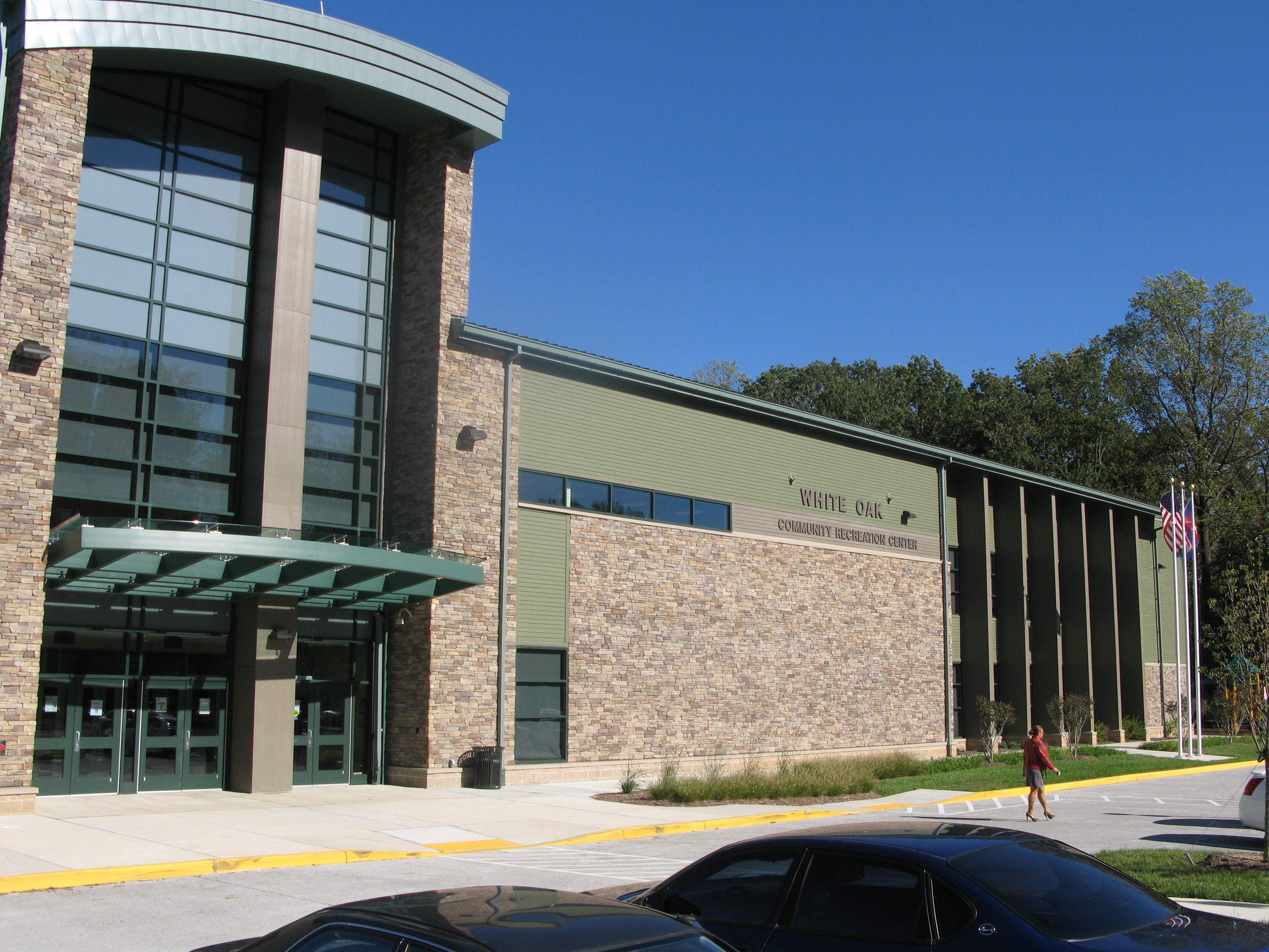
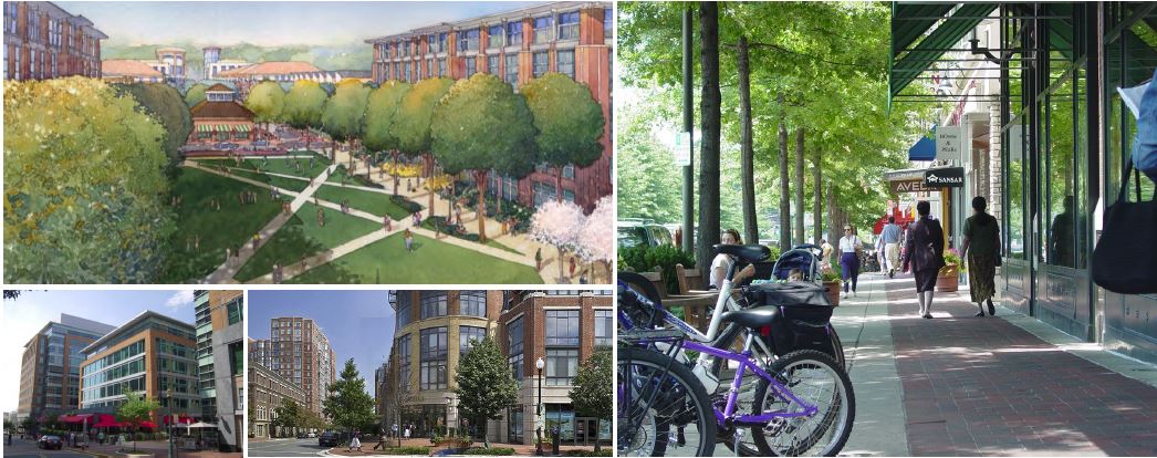
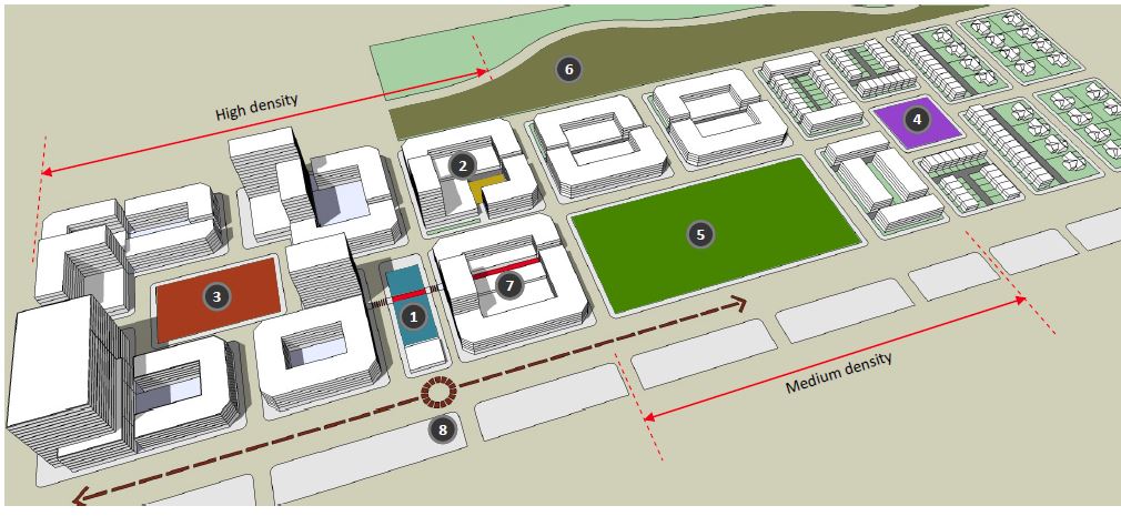
The White Oak Science Gateway Master Plan provides the foundation upon which the area can evolve into a community that offers more local opportunities to live, work and play. The Plan envisions White Oak’s major centers — Hillandale, White Oak and the Life Sciences/FDA Village — evolving from conventional, auto-dependent suburban shopping centers, business parks and light industrial areas into vibrant, mixed-use, transit-served nodes.
This Master Plan was approved and adopted on July 29, 2014 by the Montgomery County Council. The Plan amends portions of the 1997 White Oak and Fairland Master Plans.
Development projects in this plan area

White Oak Science Gateway Master Plan
View the approved and adopted White Oak Science Gateway Master Plan
Design Guidelines
View the Design Guidelines for the White Oak Science Gateway Master Plan

Public Meetings and Outreach
Plan milestones, past events, meetings with citizens associations and community outreach