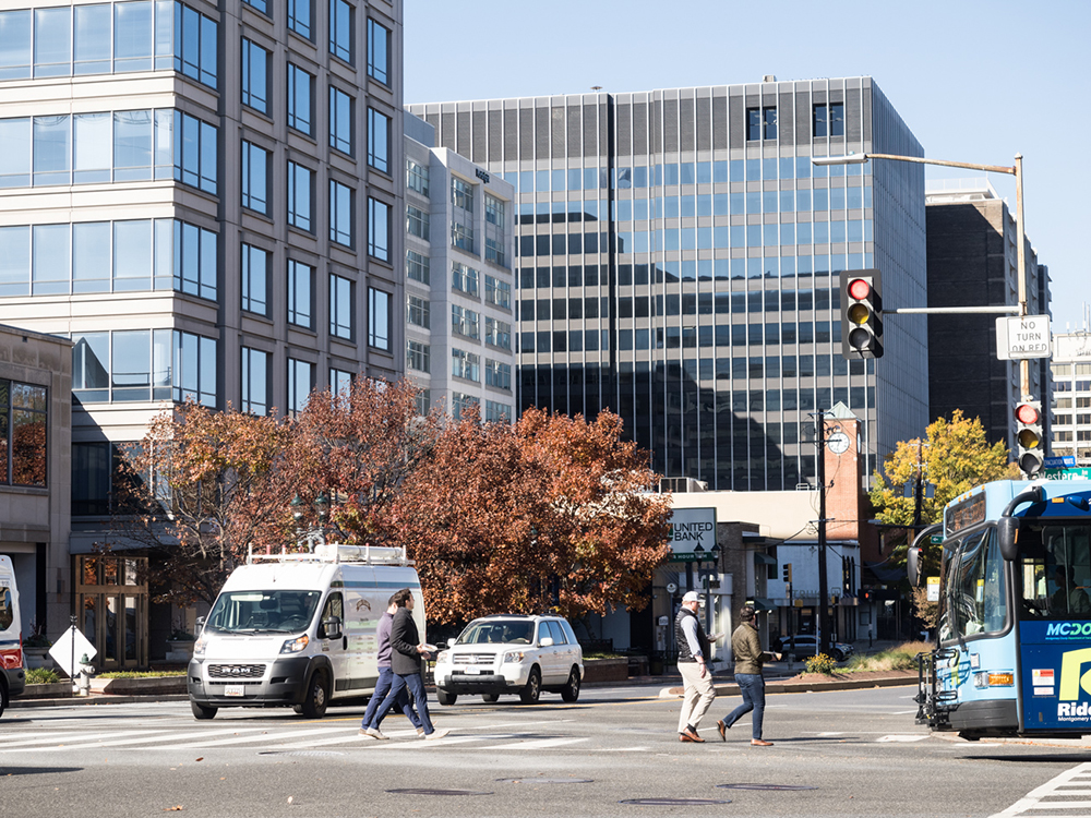
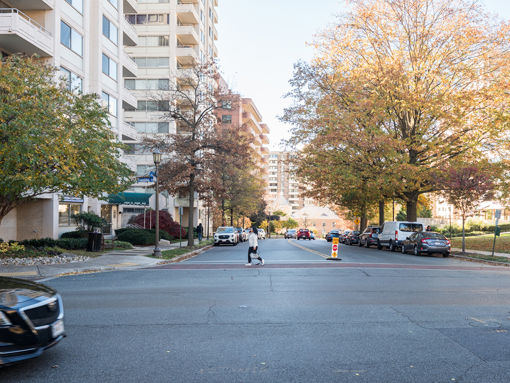
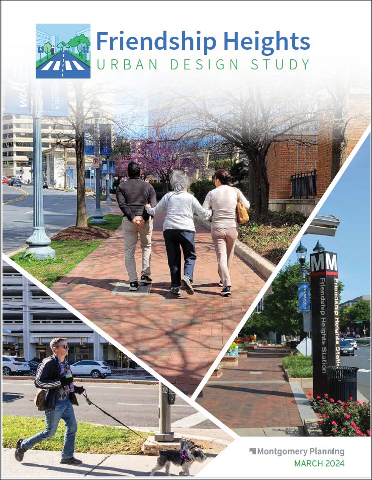
The Friendship Heights Urban Design Study analyzes how people experience the open spaces, pedestrian and transit networks, activity centers and public life in Friendship Heights today. The study includes a significant community engagement component and is focused on the urban design strengths and needs of this cross-jurisdictional transit-oriented community. The study generally focuses on the area within the 1998 Friendship Heights Sector Plan boundary but also considers the surrounding neighborhood context on all sides.
In July 2023, staff presented the scope of work to the Planning Board. Engagement took place throughout the fall, with two open house events, numerous community meetings, pop-ups and an online questionnaire. Staff presented draft findings to the Planning Board in March 2024. To receive important updates about the study, please sign up for the Friendship Heights e-letter.
Timeline
-
July 2022Scope of Work
-
Summer 2023 – January 2024Public Engagement / Urban Design Analysis
-
March 2024Present findings to Planning Board and County Council
Frequently Asked Questions
A study does not propose zoning or other changes, and its recommendations do not amend existing master or sector plans. A study is a tool used to explore a particular planning issue. Friendship Heights zoning still follows the approved and adopted recommendations of the 1998 Friendship Heights Sector Plan. In fall 2024, Montgomery Planning will kickoff the Friendship Heights Sector Plan, an update to the 1998 Friendship Heights Sector Plan.
In conversation with Montgomery Planning and the Planning Board, the Montgomery County Council approved an urban design study for Friendship Heights as part of the FY23 work program.
Staff from Montgomery Planning and Washington DC meet on a regular basis to coordinate planning efforts in neighborhoods that cross jurisdictions.