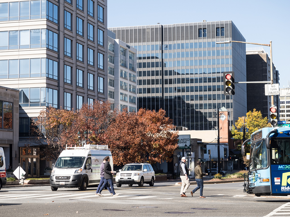
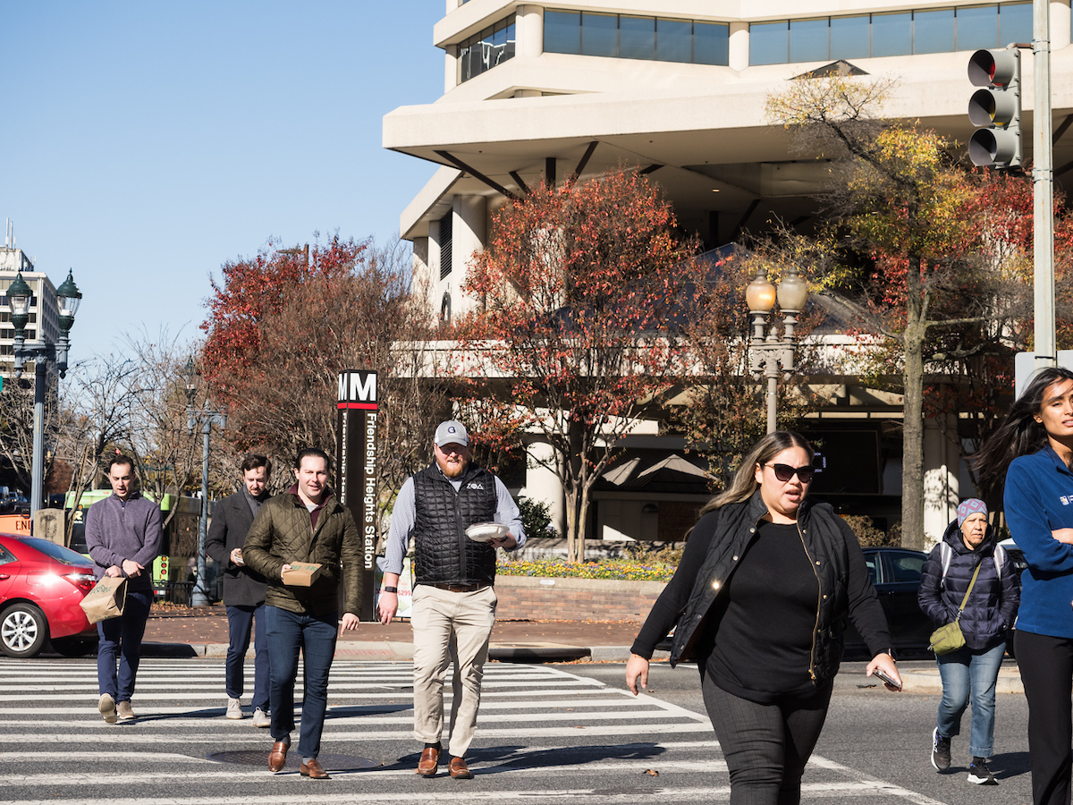
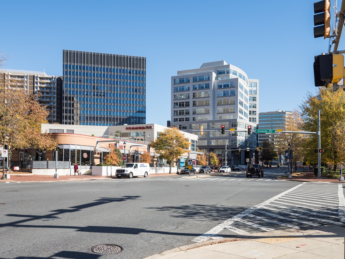
Sitting at the crossroads between Montgomery County and Washington, D.C., Friendship Heights is a unique, cross-jurisdictional and transit-oriented urban area. As one of the county’s four downtowns, Friendship Heights has transitioned over the last two decades from a regional retail destination to a mixed-use area with modest retail, limited commercial uses, and a demographic profile that tends to be older than the rest of the county. In fall 2024, Montgomery Planning kicked off the Friendship Heights Sector Plan. This plan will be an update to the 1998 Friendship Heights Sector Plan. Building on the recently completed Friendship Heights Urban Design Study, the sector plan update will consider existing conditions and ultimately make recommendations on zoning, land use, housing, transportation, parks and open space, the environment, schools, economic development, and more.
Latest updates
June recommendations update
Staff presented new material, focused on site-specific recommendations, to the community at two events in early June. These recommendations will be included in the Working Draft, the first full draft of the plan, which staff anticipates sharing with the Planning Board in mid-July.
Watch the recording of the virtual June 11 meeting and download the presentation slides.
Preliminary recommendations
On February 12, the Planning team briefed the Planning Board on the Preliminary Recommendations for the plan. Preliminary recommendations are the first high-level draft recommendations that may be ultimately included in the plan. The Planning Board meeting followed two community presentations in early February where staff shared an overview of the preliminary recommendations.


Frequently asked questions
A sector plan is a type of master plan that covers an area that is: adjacent to transit; or a central business district; or another small defined area. Typical elements of sector plans include land use, zoning, urban design, transportation, parks, trails, and open space, the economy, the environment, historic resources and schools.
The last sector plan for Friendship Heights was adopted in 1998, and the neighborhood has changed a lot since then. The downtown was once a regional retail destination with significant residential and commercial development activity, but recent years have seen rising retail and office vacancies, and new development has slowed to a trickle. Building on last year’s Urban Design Study, the Friendship Heights Sector Plan Update will look closely at current trends and residents’ needs and views to consider what the future holds for Friendship Heights, and how this downtown may better serve its stakeholders.
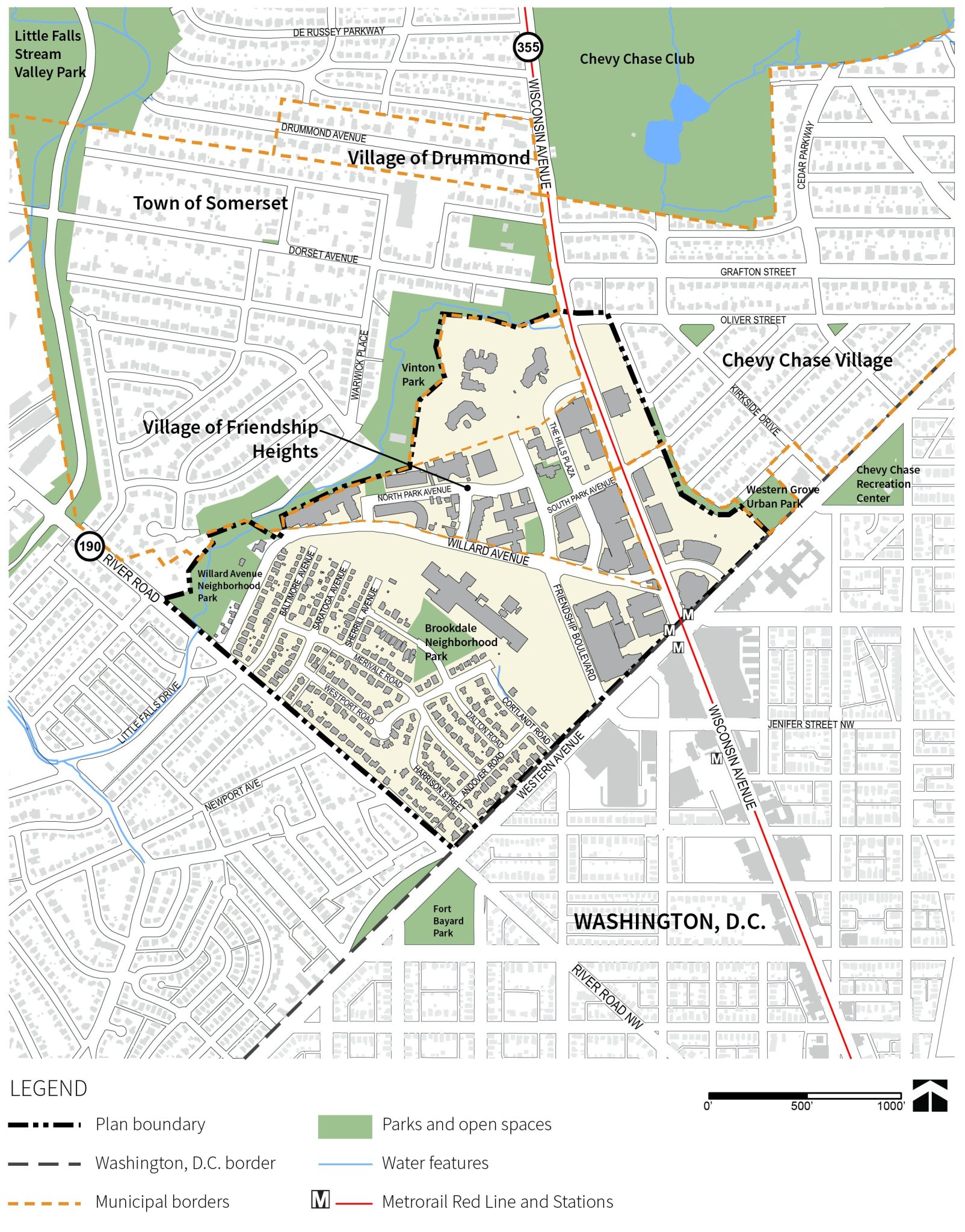
The plan boundary was approved by the Montgomery County Planning Board on February 6, 2025. View the plan boundary.
There are two Notice of Development Application signs posted at the GEICO site at 5260 Western Avenue in Friendship Heights. What does that mean?
One is for a Forest Conservation Plan Amendment to allow GEICO to demolish the existing headquarters building and the other is for a larger redevelopment of most of the site.
GEICO has submitted a Forest Conservation Plan Amendment to allow the existing GEICO Headquarters building to be demolished and it is currently under staff review. The application materials are available online under application number F20260070. Please contact Amy Lindsey, Regulatory Supervisor for the Environment and Climate Division, with any questions or comments.
GEICO and EYA Development LLC have announced plans to submit development applications to redevelop much of the existing GEICO headquarters site. The applicants have not yet submitted any application materials for this redevelopment. Once the application has been accepted as complete, all the materials will be available at www.montgomeryplanning.org/development. Application numbers will be issued when the applications are submitted. The applications will be reviewed under the current zoning on the site and the recommendations of the 1998 Friendship Heights Sector Plan. Elza Hisel-McCoy, Chief of the West County Planning Division, will be the lead reviewer and may be reached at elza.hisel-mccoy@montgomeryplanning.org.
How does this regulatory application process relate to the Friendship Heights Sector Plan recommendations for the GEICO site?
The regulatory applications and the sector plan are separate, parallel processes, with different scopes and different timelines.
The regulatory application review will take approximately four months once the applications are submitted and accepted as complete. The multi-agency review will ensure that proposed redevelopment of the GEICO site meets all current applicable standards, including for transportation, stormwater management, forest conservation, and more, and substantially conforms to the recommendations of the 1998 Friendship Heights Sector Plan.
The Sector Plan update will have a 20-year vision for the entire Plan Area and is halfway through a multi-year master planning process. The ongoing Friendship Heights Sector Plan update will make recommendations, potentially including new zoning, for the GEICO Headquarters and other sites in the Plan Area to implement the Plan vision for the community. The team will continue to work with all stakeholders in the GEICO property to develop plan recommendations for the site.
As with all Montgomery Planning efforts, we welcome public input and will offer multiple opportunities for interested stakeholders to participate in the plan and to communicate with the planning team both in-person and virtually. A stakeholder is anyone who is interested in the future of Friendship Heights, even if you do not live or work in the eventual plan area. Sign up for the e-letter to receive all communications about engagement opportunities for this plan.
Thrive Montgomery 2050 is a general framework that sets broad policy goals for the county, which sector plans like this use to guide specific practical work in their respective plan areas while actively responding to more concentrated local stakeholder values and concerns.
Both agencies have complementary goals and have identified similar needs and opportunities on each side of the Maryland–DC border. Staff from Montgomery Planning and Washington, DC Office of Planning (DCOP) meet on a regular basis to coordinate planning efforts in neighborhoods that cross jurisdictions, including this one. DCOP recently completed the Wisconsin Avenue Development Framework, focused on opportunities for housing (especially multifamily buildings) and other development along DC side of the Wisconsin Avenue corridor.
Staff contact
Atara Margolies
Planner III
301-495-4558
Email
Timeline
-
Fall 2024Pre-scope engagement
-
Winter 2025On February 6, 2025, the Planning Board approved the Scope of Work and boundary for the Plan.
-
Spring 2025On May 29, 2025 staff briefed the Planning Board on the findings from the existing conditions analysis of the Plan area.
-
Spring – Fall 2025Visioning
-
Winter 2026Preliminary Recommendations presented to Planning Board
-
Spring/Summer 2026Working Draft presented to Planning Board, followed by Planning Board public hearing and work sessions.
-
Fall 2026Transmit Planning Board Draft to Council