For all other maps, go back to the main interactive map page.
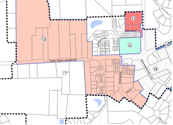
Ashton Village Center Sectional Map Amendment, 2022
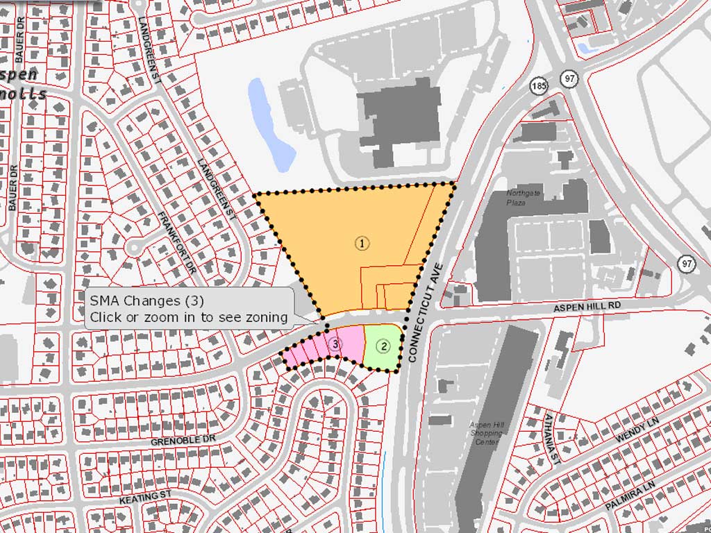
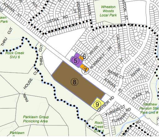
Aspen Hill Minor Sectional Map Amendment, 2015
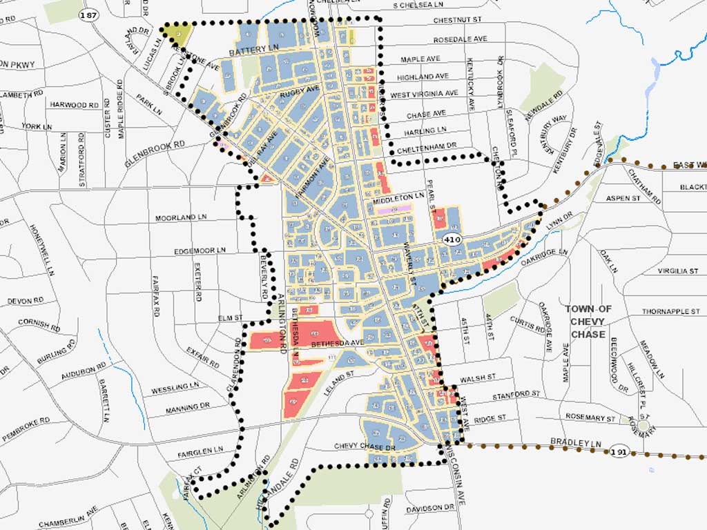
Bethesda Sectional Map Amendment, Draft 2017
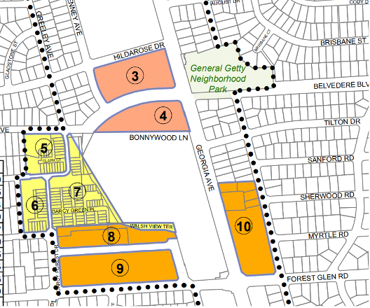
Forest Glen/Montgomery Hills Sector Plan Sectional Map Amendment, 2020
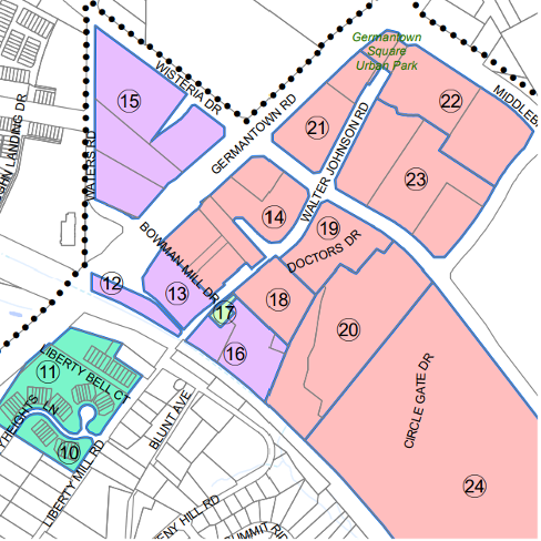
Germantown Plan for the Town Sector Zone Sectional Map Amendment, 2020
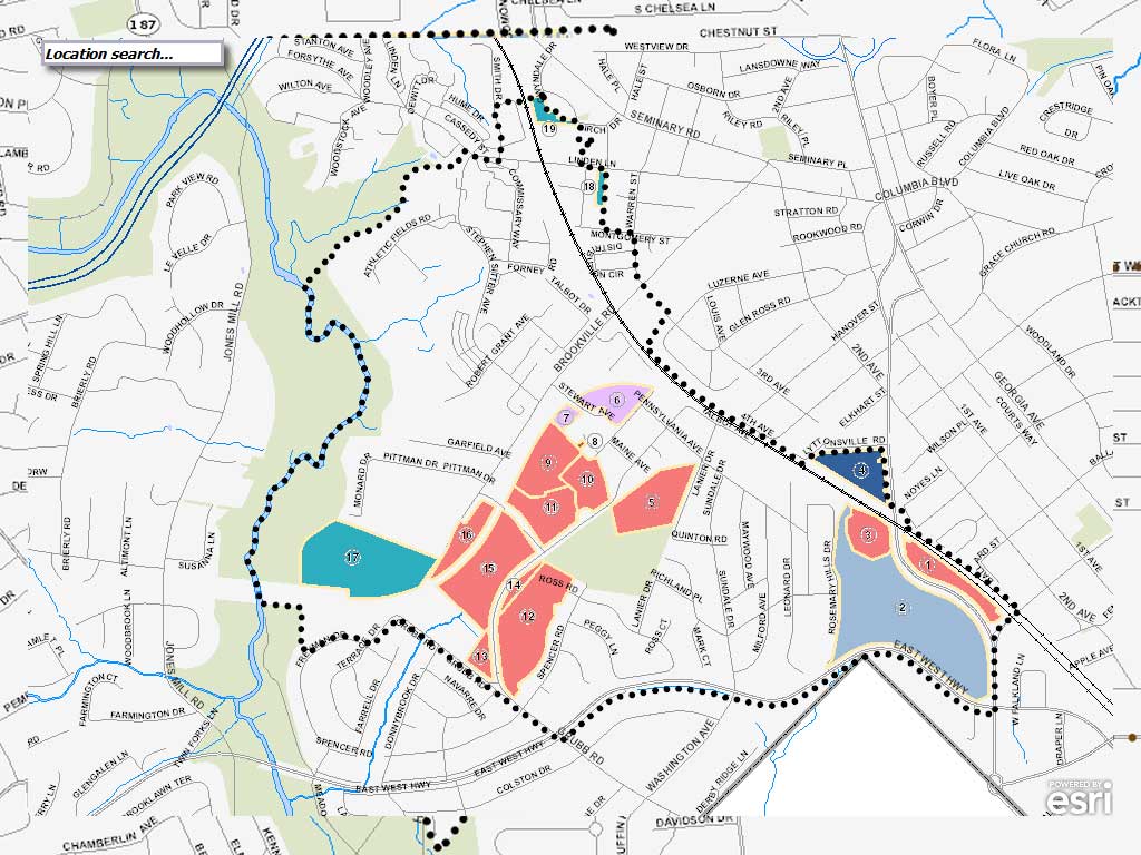
Greater Lyttonsville Sectional Map Amendment, 2017 Draft
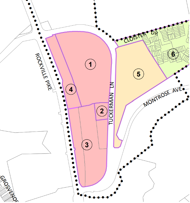
Grosvenor Strathmore Minor Plan Sectional Map Amendment, 2017
Marc Rail Communities Sectional Map Amendment, 2019
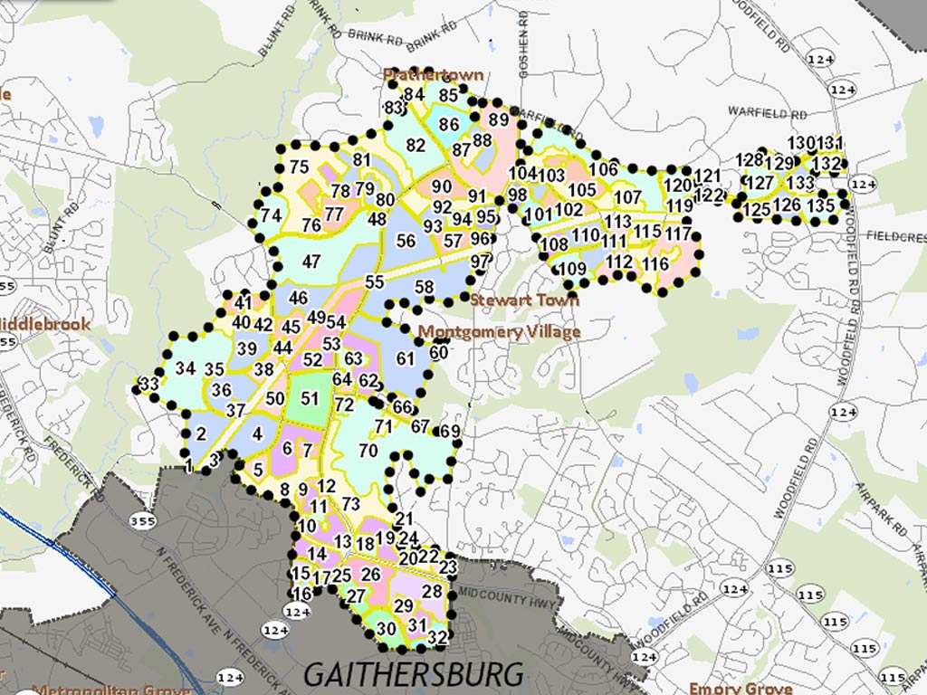
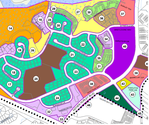
Montgomery Village Minor Sectional Map Amendment, 2017
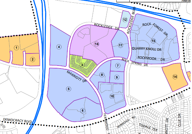
Rock Spring Sectional Map Amendment, 2018
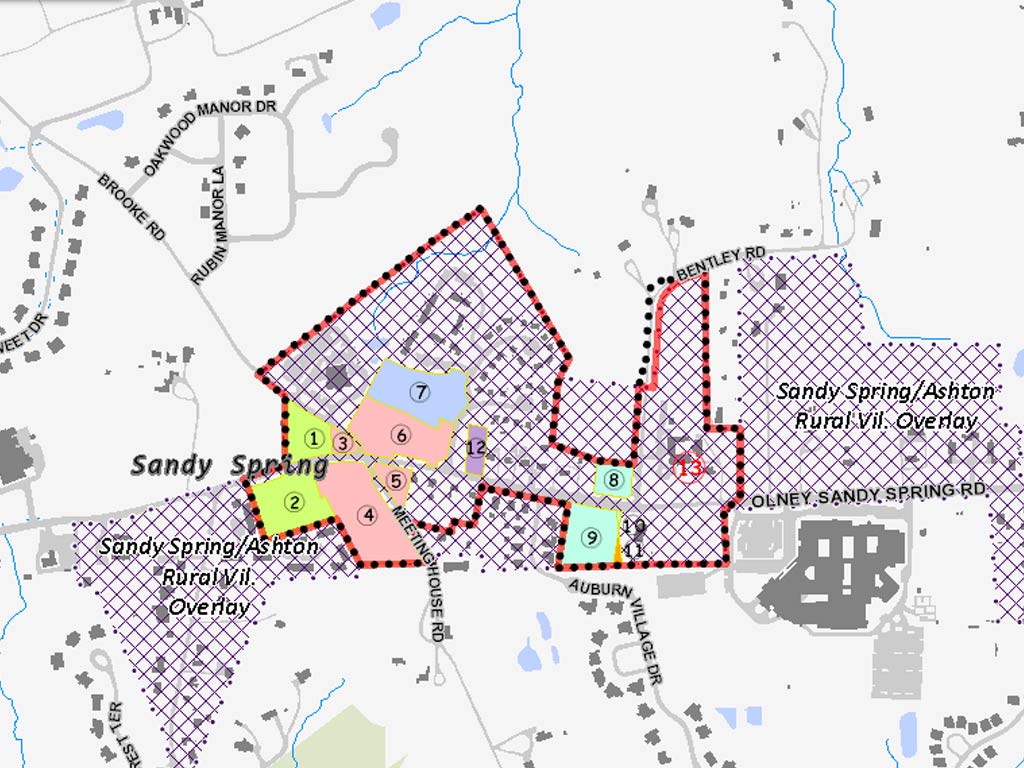
Sandy Spring Sectional Map Amendment, 2015
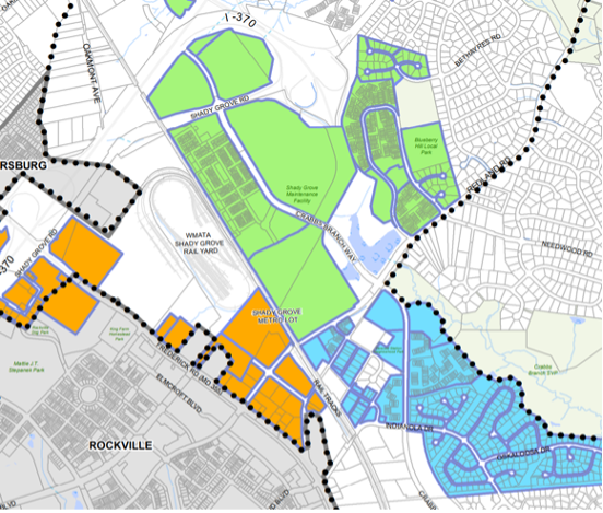
Shady Grove Sector Plan Minor Master Plan Sectional Map Amendment, 2021
Silver Spring Downtown and Adjacent Communities Plan Sectional Map Amendment, 2022
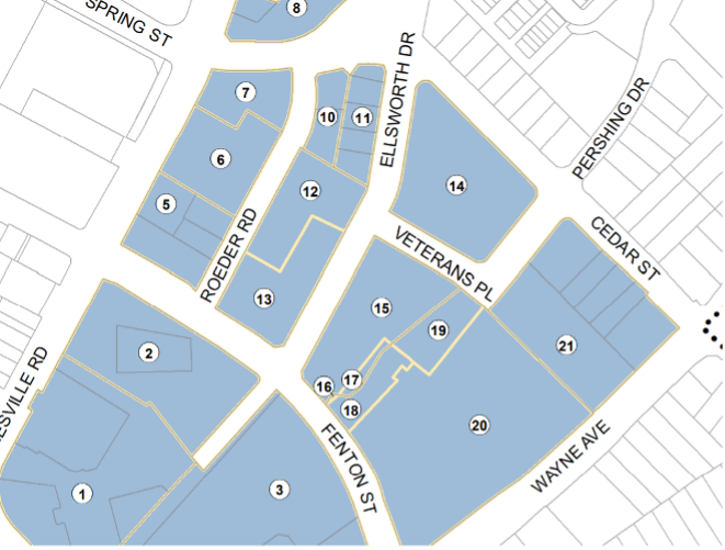
Veirs Mill Corridor Sectional Map Amendment, 2019
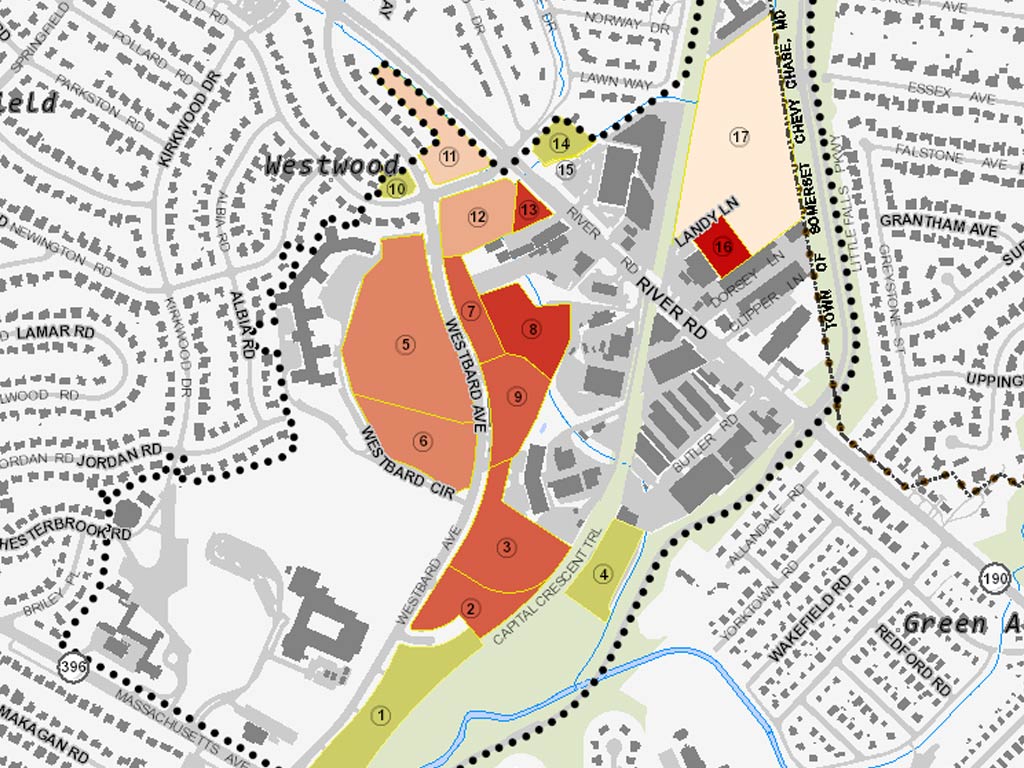
Westbard Sectional Map Amendment, 2016
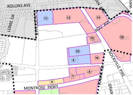
White Flint 2 Section Map Amendment, 2018
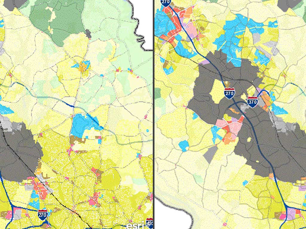
Zoning 2014 District Map Amendment
This web site records the before and after change to countywide zoning enacted October 2014.
Zoning Explorer
Official Zoning of Montgomery County; maintained in GIS format by the Planning Department.