Montgomery County master plans recommend ways of eliminating traffic fatalities and severe injuries
By David Anspacher and Jessica McVary
If you think implementing Vision Zero to eliminate traffic fatalities in your city is challenging, try starting a program in the suburbs where communities were designed for the automobile and largely devoid of concern for walking, bicycling and transit use!
While more than 40 cities in North America have endorsed Vision Zero, only one suburban jurisdiction – Montgomery County, Maryland – has embraced this strategy to eliminate all traffic-related fatalities and severe injuries by 2030 while increasing mobility. Montgomery County is attempting to demonstrate that realizing Vision Zero is not just possible in San Francisco and Washington DC, but also in places like Wheaton, Aspen Hill and Germantown.
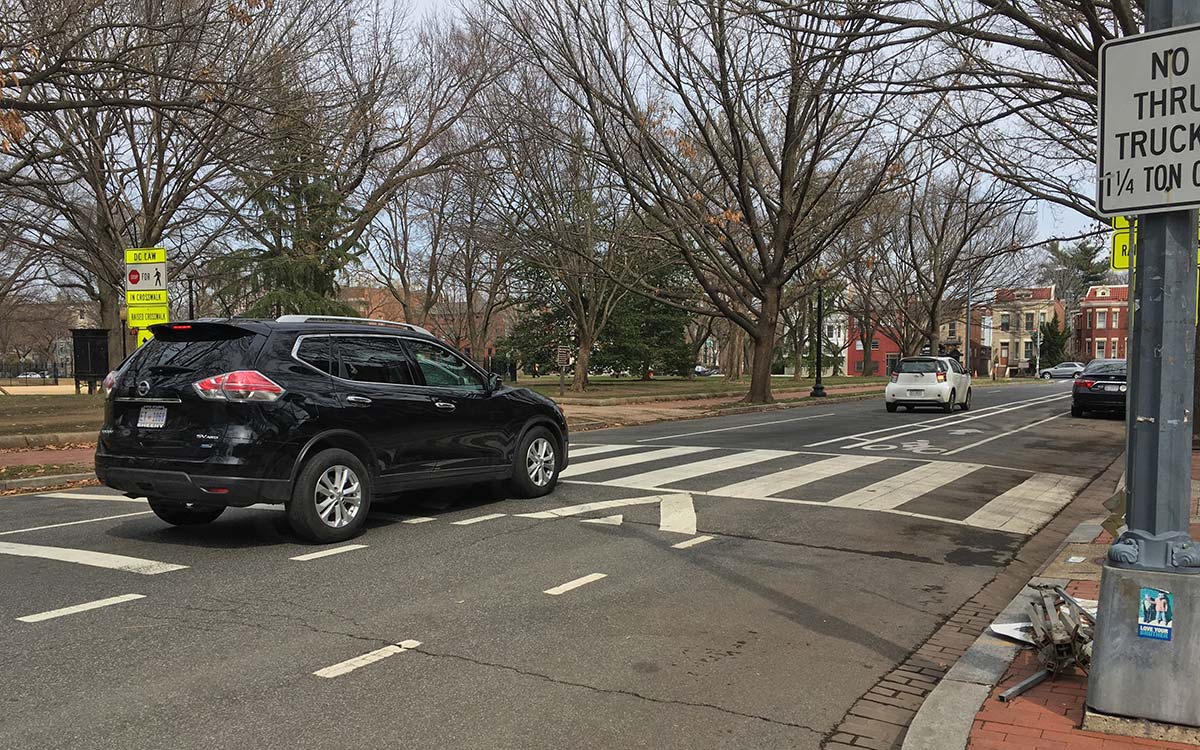
While many Vision Zero cities benefit from a grid of streets with walkable blocks, low design speeds and a land use context that conveys “slow down” to drivers, the suburbs are typically characterized by longer blocks and auto-oriented land uses that facilitate higher speeds. They offer fewer crossing opportunities and a lack of adequate walkways and bikeways.
A fundamental question for suburban jurisdictions, including Montgomery County, is how do you achieve Vision Zero in a built environment dominated by the automobile and established on the ability to travel quickly over long distances? The Montgomery County Planning Department is seeking to answer this question through the transformation of commercial areas such as White Flint and the integration of Vision Zero in master plans in other communities.
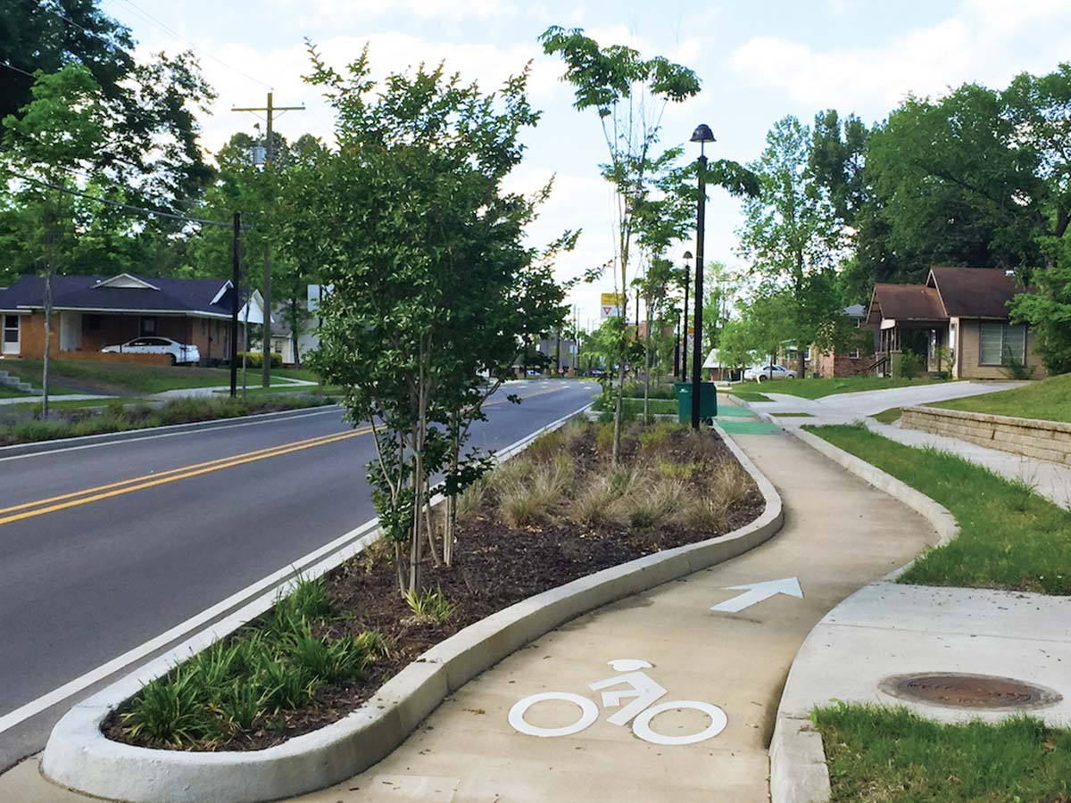
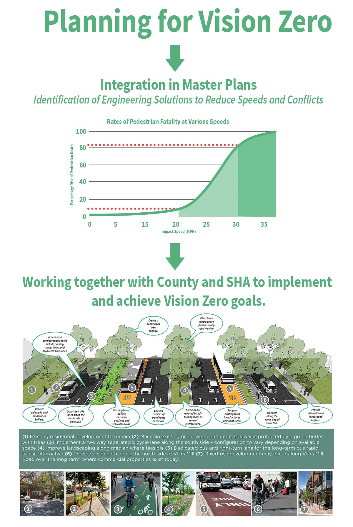
 Whether applied to an urban, suburban or rural area, the Vision Zero policy fundamentals are the same: saving lives means reducing speeds and decreasing the chance for collisions. The redevelopment of White Flint offers an opportunity to repurpose excessively wide roads and travel lanes to provide separate space for sidewalks, bikeways and street trees, as well as create an interconnected network of low speed and low volume residential streets.
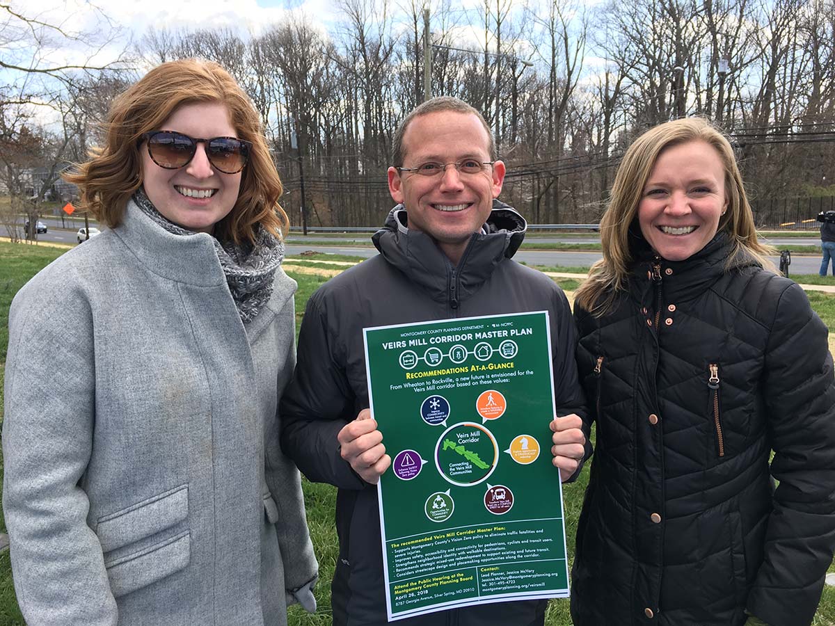
The Veirs Mill Corridor Master Plan for an area stretching from Wheaton to Rockville provides an opportunity to evaluate a heavily traveled corridor, dominated by cars, trucks and buses and inadequate infrastructure for walking, bicycling and transit use in the context of Vision Zero. The recently issued Public Hearing Draft of the Veirs Mill Corridor Master Plan recommends short-term Vision Zero strategies to provide continuous walkways and bikeways, improve access to transit and increase connectivity to community facilities and neighborhood uses.
 In the long term, the plan recommends the transformation of Veirs Mill Road from a motor vehicle dominated corridor to a safe, efficient and comfortable complete street that serves all users. With this transformation, the plan recommends reduced lane widths, reduced target speeds and additional safe crossing opportunities to improve safety and increase mobility for all road users.
Learn more about how Montgomery Planning is planning for Vision Zero.
Wendy R Leibowitz
Love this new blog. I’m in East Bethesda (and travel/work through downtown Bethesda). Different issues as we strive to build green spaces; get protected bike and pedestrian crossings, and fight for a few more seconds to cross the street, especially near elementary schools. There is a “built” environment and an “under construction” environment, and it’s hard to know when and how effectively to intervene.
We have a lot to learn from you and this wonderful new blog!
Thank you!