By Montgomery Planning staff
Flooding is a growing threat to Montgomery County due to severe storms caused by climate change. Whether it’s damaging homes, disrupting traffic, or harming local ecosystems, the impacts of flooding are real and intensifying.
As the agency responsible for land use and planning for the future, we’re uniquely positioned to help reduce flood risks and build a more resilient county. Our approach is rooted in smart growth, environmental stewardship, and interagency collaboration.
Understanding the problem
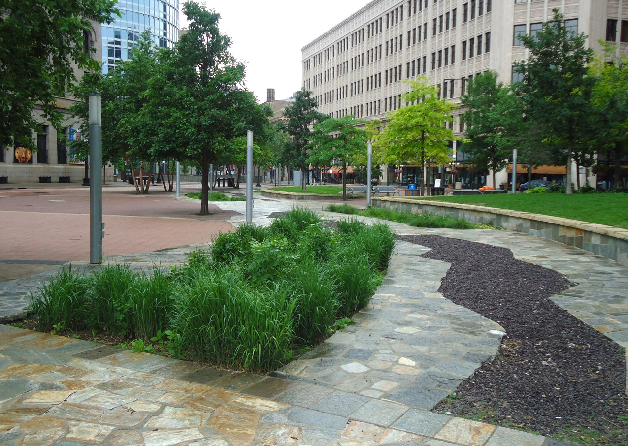
Flooding happens when rainfall overwhelms the land’s ability to absorb water and the capacity of natural and built drainage systems like streams, wetlands, and storm drains. In Montgomery County, many neighborhoods were built before modern stormwater standards existed, leaving them … Continue reading