Here’s some inside baseball for you—planners love maps. Mention letraset and T-squares to older planners and they’ll start squirting tears for the good old days and bemoaning the cold computer line.
Maps, no matter how they’re made, have tremendous expressive potential and we planners argue long and hard about their content and style. Everyone has a different idea about land use colors, boundary lines, and north arrows.
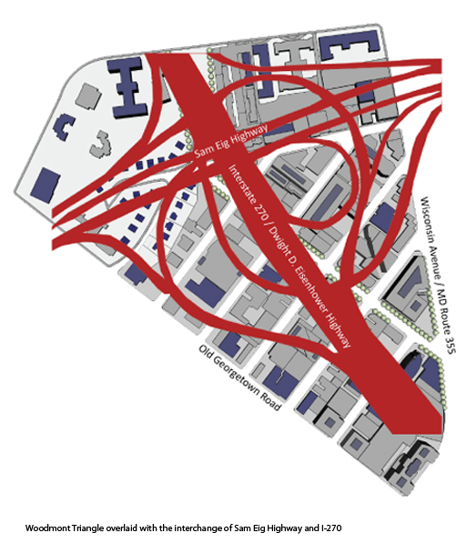
Here’s someone else who cares about maps and I think two of them are of particular interest to planning in Montgomery County.
Entry 441 is a map of San Francisco’s privately-owned public open spaces (POPOS). Montgomery County has its share of these and master plans recommend more. Will these public amenities, negotiated … Continue reading