This blog post is also published as a Greater Greater Washington guest column.
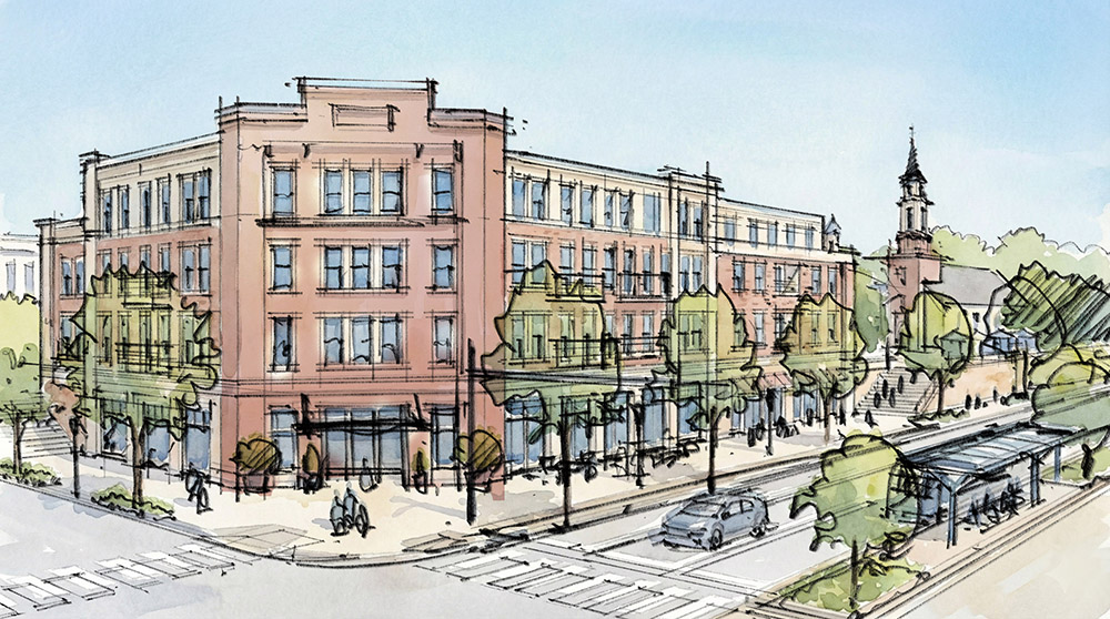
As Montgomery County eagerly awaits next year’s anticipated opening of the Purple Line, we know few communities stand to gain as much from the massive light-rail investment as those located south of the Capital Beltway between Sligo Creek and the Prince George’s County line.
That area will have three Purple Line stations: Manchester Place, Long Branch, and Piney Branch Road. At the same time, the county has plans to add fast, frequent bus service, known as bus rapid transit (BRT), to University Boulevard and New Hampshire Avenue, complementing today’s BRT line on Colesville Road.
When built, many of the area’s 37,000 residents will live within … Continue reading