Roads, parking garages, even trails rarely have the urban glamour of Italian hill towns, grand plazas, or museums and symphony halls. For many planners and architects, they are the unfortunate necessities that make a place work and are often treated accordingly.
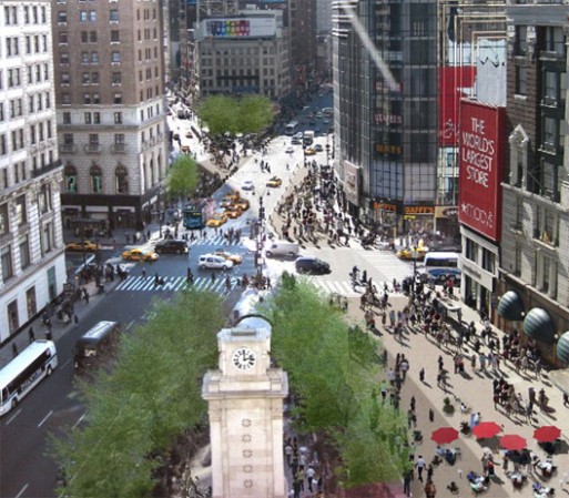
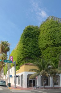
But as this article in Better Cities and Towns shows, infrastructure can add drama to the urban profile and fun to daily life. What particularly got me interested in the topic was looking at how we talk about parking garages. The only solution appears to be hiding them, screening them, making them look like something else. While some of these examples in Miami are truly extraordinary, more of them are replicable and through their design, location, and tenanting, … Continue reading